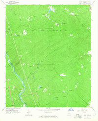
1964 Map of Dames Ferry
USGS Topo · Published 1965About this map
The Ocmulgee River defines the western edge of this 1960s landscape, serving as the border between Jones and Monroe counties. Historically known for its river crossings, the area around Dames Ferry features the Southern railroad line hugging the riverbank. Much of the terrain is dedicated to the Piedmont National Wildlife Refuge and the Oconee National Forest, where a network of forest and refuge headquarters manages the heavily wooded ridges and creek bottoms.
Find a feature on this map
32 named features on this map. Tap any name to fly to it.
Don’t see what you’re looking for? This feature index may not catch every label — zoom into the map to look around manually.
Map Details
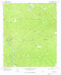
Editions of this 1964 Dames Ferry Map
2 editions found
Other maps of this area

1951 · Forsyth
USGS Topo · 1:62,500

1953 · Athens
USGS Topo · 1:250,000

1956 · Bolingbroke
USGS Topo · 1:62,500

1956 · Macon
USGS Topo · 1:62,500

1957 · Macon
USGS Topo · 1:250,000

1958 · Macon
USGS Topo · 1:250,000

1958 · Athens
USGS Topo · 1:250,000

1959 · Athens
USGS Topo · 1:250,000

1963 · Athens
USGS Topo · 1:250,000

1964 · Macon
USGS Topo · 1:250,000