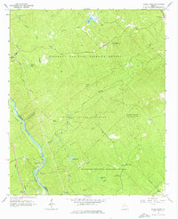
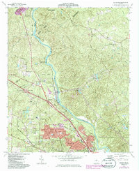
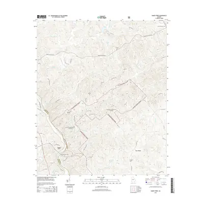
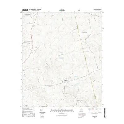
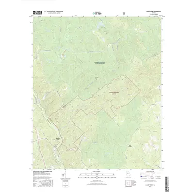
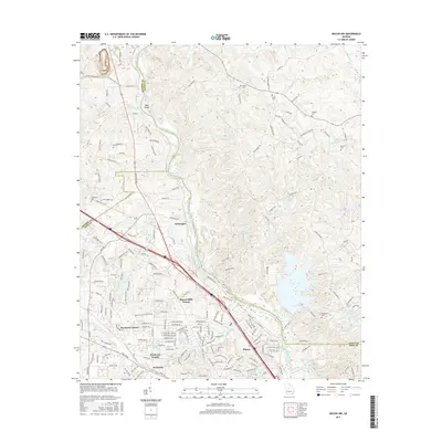
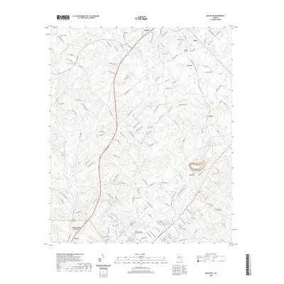
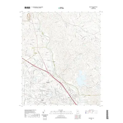
1964 Map of Dames Ferry
USGS Topo · Published 1976About this map
The Ocmulgee River serves as the prominent boundary between Jones and Monroe counties in this mid-1960s survey. The landscape is dominated by the sprawling Piedmont National Wildlife Refuge and Oconee National Forest, reflecting a region dedicated to conservation and forestry. Human settlement is sparse and concentrated around rural intersections and riverside points like Dames Ferry, where the Southern railroad parallels the water.
Find a feature on this map
28 named features on this map. Tap any name to fly to it.
Don’t see what you’re looking for? This feature index may not catch every label — zoom into the map to look around manually.
Map Details
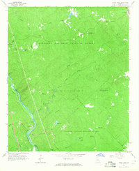
Editions of this 1964 Dames Ferry Map
2 editions found
Historical Maps of Dames Ferry Through Time
30 maps found
1964 Dames Ferry
Jones County, GA
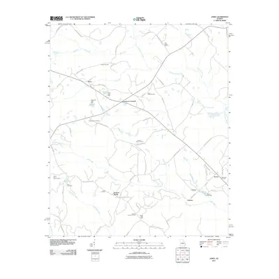
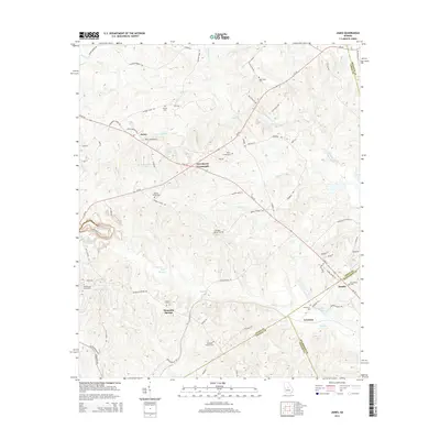
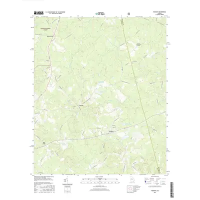
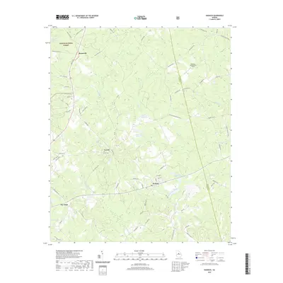
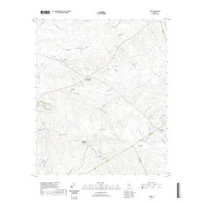
1973 James
Jones County, GA
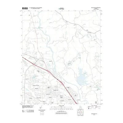
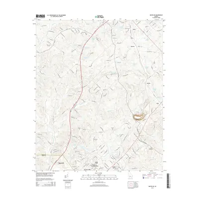
1973 Macon NE
Jones County, GA
1973 Macon NW
Jones County, GA
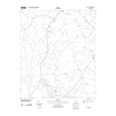
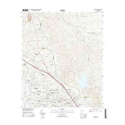
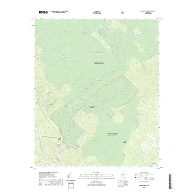
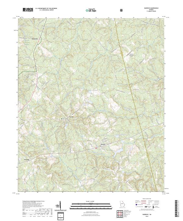
1978 Haddock
Jones County, GA
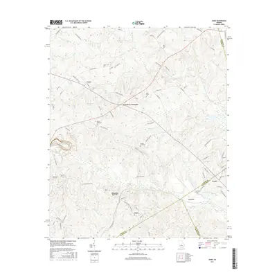
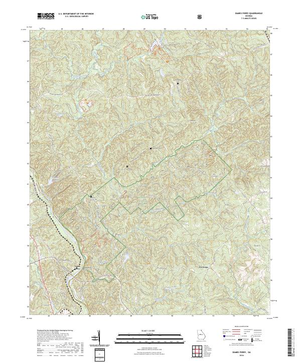
2011 Dames Ferry
Jones County, GA
2011 Haddock
Jones County, GA
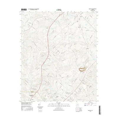
2011 James
Jones County, GA
2011 Macon NE
Jones County, GA
2011 Macon NW
Jones County, GA
2014 Dames Ferry
Jones County, GA
2014 Haddock
Jones County, GA
2014 James
Jones County, GA
2014 Macon NE
Jones County, GA
2014 Macon NW
Jones County, GA
2017 Dames Ferry
Jones County, GA
2017 Haddock
Jones County, GA
2017 James
Jones County, GA
2017 Macon NE
Jones County, GA
2017 Macon NW
Jones County, GA
2020 Dames Ferry
Jones County, GA
2020 Haddock
Jones County, GA
2020 James
Jones County, GA
2020 Macon NE
Jones County, GA
2020 Macon NW
Jones County, GA
2024 Dames Ferry
Jones County, GA
2024 Haddock
Jones County, GA
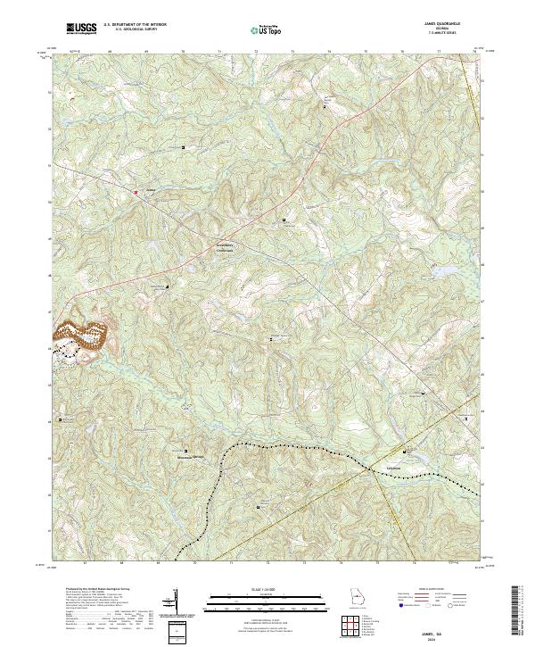
2024 James
Jones County, GA
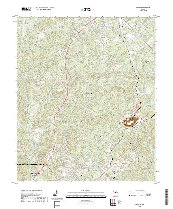
2024 Macon NE
Jones County, GA
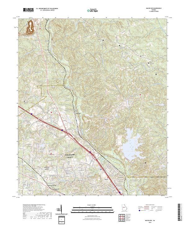
2024 Macon NW
Jones County, GA