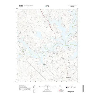
2020 Map of Lake Sinclair West
USGS Topo · Published 2020About this map
Lake Sinclair defines the geography of this central Georgia landscape, its irregular shoreline reaching into the counties of Baldwin, Putnam, and Hancock. The southern portion of the map is anchored by the northern edge of Milledgeville, where the John Milledge Academy and Baldwin Memorial Gardens are situated near the banks of Nancy Branch and Reedy Branch. This modern survey illustrates the contemporary interface between the residential growth of Milledgeville and the recreational development surrounding the reservoir.
Find a feature on this map
149 named features on this map. Tap any name to fly to it.
Don’t see what you’re looking for? This feature index may not catch every label — zoom into the map to look around manually.
Map Details
Editions of this 2020 Lake Sinclair West Map
This is the sole edition of this map. No revisions or reprints were ever made.
Other maps of this area

1912 · Milledgeville
USGS Topo · 1:62,500

1953 · Athens
USGS Topo · 1:250,000

1958 · Athens
USGS Topo · 1:250,000

1959 · Athens
USGS Topo · 1:250,000

1963 · Athens
USGS Topo · 1:250,000

1972 · Meda
USGS Topo · 1:24,000

1972 · Eatonton
USGS Topo · 1:24,000
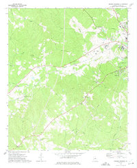
1972 · Browns Crossing
USGS Topo · 1:24,000
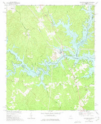
1972 · Lake Sinclair West
USGS Topo · 1:24,000
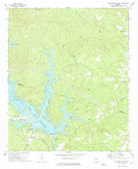
1972 · Lake Sinclair East
USGS Topo · 1:24,000