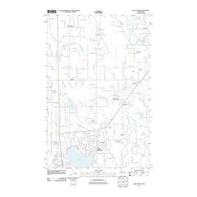
2011 Map of Lake Stevens
USGS Topo · Published 2011About this map
Lake Stevens and its surrounding communities are documented here as they appeared in 2011, showing the established residential patterns along the northern and eastern shores of the lake. The settlement of Hartford serves as a historic focal point, while the smaller hamlets of Lochsloy, Sobey, and Getchell dot the landscape to the north. This area reflects a diverse mix of land uses, from the industrial Getchell Pit and Lake Stevens Quarry to the expansive Pilchuck Tree Farm in the east. Numerous water bodies define the geography, including Lake Cassidy, Martha Lake, and the winding Pilchuck River. The map also captures specialized facilities like the Paul Sevenich Boy Scout Camp and private aviation sites such as Frontier Airpark and Green Valley Air Field, illustrating the transition from rural timberlands and agriculture to a more complex suburban and recreational landscape.
Find a feature on this map
82 named features on this map. Tap any name to fly to it.
Don’t see what you’re looking for? This feature index may not catch every label — zoom into the map to look around manually.
Map Details
Editions of this 2011 Lake Stevens Map
This is the sole edition of this map. No revisions or reprints were ever made.
Other maps of this area

1895 · Snohomish
USGS Topo · 1:125,000

1897 · Seattle
USGS Topo · 1:125,000

1899 · Stillaguamish
USGS Topo · 1:125,000

1901 · Stilaguamish
USGS Topo · 1:125,000

1911 · Mount Vernon
USGS Topo · 1:125,000

1921 · Sultan
USGS Topo · 1:125,000

1923 · Sultan
USGS Topo · 1:125,000

1941 · Marysville
USGS Topo · 1:62,500

1943 · Marysville
USGS Topo · 1:62,500

1944 · Everett
USGS Topo · 1:62,500