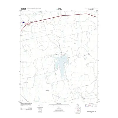
2012 Map of Lake Sweetwater
USGS Topo · Published 2012About this map
Lake Sweetwater serves as the central focal point of this 2012 survey, its shorelines carved by Firemans Point and framed by surrounding ranchlands and rugged Texas terrain. The landscape is defined by its drainages, where Sweetwater Creek, Bitter Creek, and Kildoogan Creek cut through the high ground. Local history is anchored by the Garden of Memories Cem in the north and the Coffee Cem near the lake, providing valuable reference points for genealogists. The map also reveals the region's aviation and ranching character through the presence of private airstrips like Gesin Ranches Airport and Rafter P Airport. To the south, the topography rises significantly at Cottonwood Mountain, overlooking a network of rural routes including Ranch Road 1856 and Bittercreek Rd.
Find a feature on this map
47 named features on this map. Tap any name to fly to it.
Don’t see what you’re looking for? This feature index may not catch every label — zoom into the map to look around manually.
Map Details
Editions of this 2012 Lake Sweetwater Map
This is the sole edition of this map. No revisions or reprints were ever made.
Other maps of this area
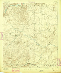
1893 · Roby
USGS Topo · 1:125,000
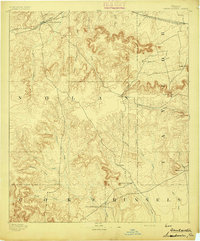
1893 · Sweetwater
USGS Topo · 1:125,000
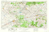
1954 · Big Spring
USGS Topo · 1:250,000
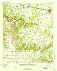
1957 · Merkel
USGS Topo · 1:62,500
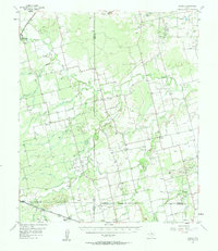
1957 · Noodle
USGS Topo · 1:62,500
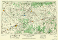
1958 · Big Spring
USGS Topo · 1:250,000
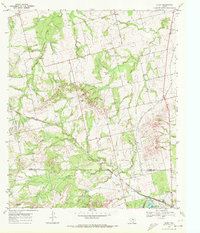
1969 · Busby
USGS Topo · 1:24,000
1969 · Eskota
USGS Topo · 1:24,000
1969 · Sweetwater
USGS Topo · 1:24,000
1969 · Holder Creek
USGS Topo · 1:24,000