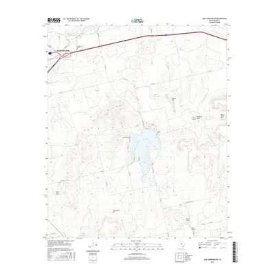
2016 Map of Lake Sweetwater
USGS Topo · Published 2016About this map
Lake Sweetwater serves as the central focal point of this West Texas landscape, surrounded by a network of drainage systems including Bitter Cr and Cottonwood Cr. The city of Sweetwater occupies the northwest corner, showing its modern footprint at the intersection of major transit corridors and the historic Sweetwater Cr valley. The topography is defined by significant elevation changes, from the heights of Cottonwood Mtn and Beacon Hill to the etched paths of Outlaw Canyon and Dug Spring Canyon.
Find a feature on this map
45 named features on this map. Tap any name to fly to it.
Don’t see what you’re looking for? This feature index may not catch every label — zoom into the map to look around manually.
Map Details
Editions of this 2016 Lake Sweetwater Map
This is the sole edition of this map. No revisions or reprints were ever made.
Other maps of this area

1893 · Roby
USGS Topo · 1:125,000

1893 · Sweetwater
USGS Topo · 1:125,000

1954 · Big Spring
USGS Topo · 1:250,000

1957 · Merkel
USGS Topo · 1:62,500

1957 · Noodle
USGS Topo · 1:62,500

1958 · Big Spring
USGS Topo · 1:250,000

1969 · Busby
USGS Topo · 1:24,000

1969 · Eskota
USGS Topo · 1:24,000

1969 · Sweetwater
USGS Topo · 1:24,000

1969 · Holder Creek
USGS Topo · 1:24,000