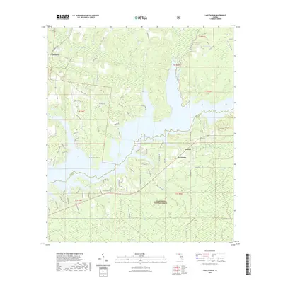
2021 Map of Lake Talquin
USGS Topo · Published 2021About this map
Lake Talquin dominates this section of the Florida Panhandle, where the waters of the Little River and Rocky Comfort Cr are contained by the Ochlockonee River system. The landscape transition is evident at the Gadsden Co Leon Co line, which divides the waterbody and its surrounding timberlands. To the north, the terrain is defined by drainages like Bear Cr and Mule Cr, while the southern reaches extend into the protected expanse of the Apalachicola National Forest.
Find a feature on this map
88 named features on this map. Tap any name to fly to it.
Don’t see what you’re looking for? This feature index may not catch every label — zoom into the map to look around manually.
Map Details
Editions of this 2021 Lake Talquin Map
This is the sole edition of this map. No revisions or reprints were ever made.
Other maps of this area
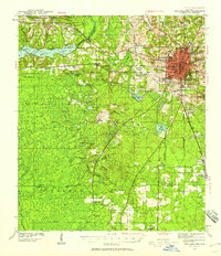
1940 · Tallahassee
USGS Topo · 1:62,500
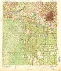
1942 · Tallahassee
USGS Topo · 1:62,500
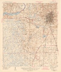
1943 · Tallahassee
USGS Topo · 1:62,500
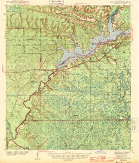
1943 · Lake Talquin
USGS Topo · 1:62,500

1954 · Tallahassee
USGS Topo · 1:250,000
1959 · Tallahassee
USGS Topo · 1:250,000
1959 · Gretna
USGS Topo · 1:24,000
1959 · Quincy
USGS Topo · 1:24,000
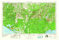
1960 · Tallahassee
USGS Topo · 1:250,000
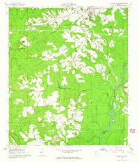
1963 · Havana South
USGS Topo · 1:24,000