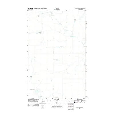
2011 Map of Lake Thibadeau
USGS Topo · Published 2011About this map
East End Colony anchors the southern portion of this Hill County landscape, where the prairie is defined by an extensive network of water management and creek systems. Lodge Creek winds through the northern and central terrain, its flow regulated by multiple water control structures including the Willie Nelson Dam and the Kat Ruler Dam. The land use patterns reflect the hydraulic engineering of the High Plains, with named structures like Lenhart Number 4 Dam and Lenhart Number 5 Dam positioned to manage seasonal runoff.
Find a feature on this map
12 named features on this map. Tap any name to fly to it.
Don’t see what you’re looking for? This feature index may not catch every label — zoom into the map to look around manually.
Map Details
Editions of this 2011 Lake Thibadeau Map
This is the sole edition of this map. No revisions or reprints were ever made.
Other maps of this area

1904 · Yantic
USGS Topo · 1:62,500

1904 · Havre
USGS Topo · 1:62,500

1912 · Zurich
USGS Topo · 1:125,000

1912 · Thibedeau Lake
USGS Topo · 1:125,000

1953 · Havre
USGS Topo · 1:250,000

1957 · Havre
USGS Topo · 1:250,000

1958 · Havre
USGS Topo · 1:250,000

1964 · Havre NW
USGS Topo · 1:24,000
1964 · Reservoir Coulee
USGS Topo · 1:24,000
1964 · Havre NE
USGS Topo · 1:24,000