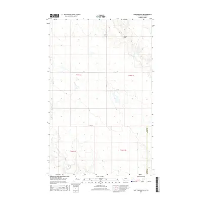
2017 Map of Lake Thibadeau NE
USGS Topo · Published 2017About this map
Hill Co Blaine Co defines the eastern edge of this northern Montana landscape, where the high plains meet a series of drainage systems. The terrain is deeply incised by Antelope Coulee and Woodpile Coulee in the north, while the southern portion is shaped by the meandering course of Lodge Cr. This area is characterized by a sparse, organized grid of rural transit and private access, including W Fork Rd and Co Rd 3069. The map details the transition from open grazing land to the more complex topography of the coulees, providing a precise look at the 21st-century rural infrastructure. Genealogists and land researchers can trace property locations within the townships of t37n r16e, t37n r17e, t36n r16e, and t36n r17e across this remote borderland.
Find a feature on this map
13 named features on this map. Tap any name to fly to it.
Don’t see what you’re looking for? This feature index may not catch every label — zoom into the map to look around manually.
Map Details
Editions of this 2017 Lake Thibadeau NE Map
This is the sole edition of this map. No revisions or reprints were ever made.
Other maps of this area

1912 · Zurich
USGS Topo · 1:125,000

1912 · Thibedeau Lake
USGS Topo · 1:125,000

1953 · Havre
USGS Topo · 1:250,000

1957 · Havre
USGS Topo · 1:250,000

1958 · Havre
USGS Topo · 1:250,000
1972 · Lake Thibadeau SW
USGS Topo · 1:24,000
1972 · Lake Thibadeau
USGS Topo · 1:24,000
1972 · Lake Thibadeau NE
USGS Topo · 1:24,000
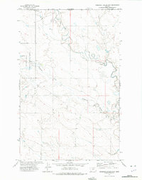
1972 · Creedman Coulee East
USGS Topo · 1:24,000
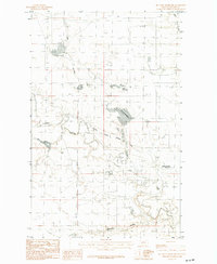
1984 · Mc Laren Reservoir
USGS Topo · 1:24,000