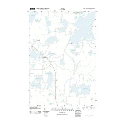
2010 Map of Lake Tomahawk
USGS Topo · Published 2010About this map
Lake Tomahawk sits as the primary hub of this glaciated northern Wisconsin landscape, where the Wisconsin River winds past the Rainbow Reservoir and through the Rainbow Rapids. The terrain is defined by an intricate network of waterways and glacial kettle lakes, including Eagle Lake, Horsehead Lake, and the expansive Rainbow Flowage to the northeast. Human imprints are concentrated around the settlement, featuring the Lake Tomahawk Lookout Tower and the Dolhun Airstrip.
Find a feature on this map
46 named features on this map. Tap any name to fly to it.
Don’t see what you’re looking for? This feature index may not catch every label — zoom into the map to look around manually.
Map Details
Editions of this 2010 Lake Tomahawk Map
This is the sole edition of this map. No revisions or reprints were ever made.
Other maps of this area

1930 · Robbins
USGS Topo · 1:48,000

1938 · Minocqua
USGS Topo · 1:48,000

1938 · Robbins
USGS Topo · 1:48,000

1939 · Cassian
USGS Topo · 1:48,000

1940 · Rhinelander
USGS Topo · 1:48,000

1942 · Cassian
USGS Topo · 1:48,000

1945 · Robbins
USGS Topo · 1:48,000

1946 · Minocqua
USGS Topo · 1:48,000

1949 · Rhinelander
USGS Topo · 1:48,000

1949 · Minocqua
USGS Topo · 1:48,000