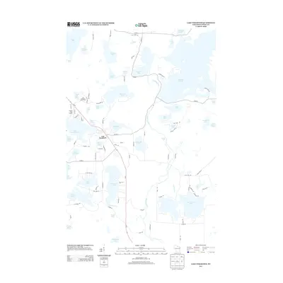
2013 Map of Lake Tomahawk
USGS Topo · Published 2013About this map
Lake Tomahawk serves as the central hub of this Northwoods region, where the glacial landscape is defined by an intricate network of interconnected waterways and wetlands. The Wisconsin River meanders through the central portion of the sheet, characterized by features like Rainbow Rapids and its confluence with Gilmore Creek. Significant water bodies such as Two Sisters Lake, Horsehead Lake, and the expansive Rainbow Flowage dominate the terrain, reflecting the area's importance for timber and recreation. Local infrastructure supports both transit and forestry, including the Lake Tomahawk Lookout Tower and Dolhun Field Airport. The map detail captures the transition from lakeside settlements to dense lake-strewn woods, connected by a web of routes like Wi-47 and Co HWY-D. This 2013 survey provides a clear look at the modern shoreline configurations of named lakes such as Sweeny Lake and Hasbrook Lake, useful for tracing property lines and environmental changes.
Find a feature on this map
96 named features on this map. Tap any name to fly to it.
Don’t see what you’re looking for? This feature index may not catch every label — zoom into the map to look around manually.
Map Details
Editions of this 2013 Lake Tomahawk Map
This is the sole edition of this map. No revisions or reprints were ever made.
Other maps of this area

1930 · Robbins
USGS Topo · 1:48,000

1938 · Minocqua
USGS Topo · 1:48,000

1938 · Robbins
USGS Topo · 1:48,000

1939 · Cassian
USGS Topo · 1:48,000

1940 · Rhinelander
USGS Topo · 1:48,000

1942 · Cassian
USGS Topo · 1:48,000

1945 · Robbins
USGS Topo · 1:48,000

1946 · Minocqua
USGS Topo · 1:48,000

1949 · Rhinelander
USGS Topo · 1:48,000

1949 · Minocqua
USGS Topo · 1:48,000