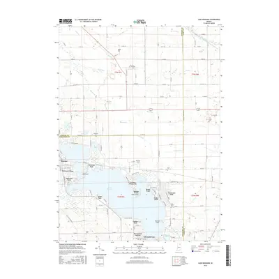
2016 Map of Lake Wawasee
USGS Topo · Published 2016About this map
Lake Wawasee dominates this landscape, its complex shoreline defined by points and bays like Cedar Point, Black Point, and Conklin Bay. Along the water's edge, a dense network of lakeside communities and resorts such as Enchanted Hills, Vawter Park, and Oakwood Park illustrates the area's development as a premier Midwestern destination. To the south, Papakeechie Lake sits separated from the larger water body by a narrow strip of land near Buttermilk Point.
Find a feature on this map
88 named features on this map. Tap any name to fly to it.
Don’t see what you’re looking for? This feature index may not catch every label — zoom into the map to look around manually.
Map Details
Editions of this 2016 Lake Wawasee Map
This is the sole edition of this map. No revisions or reprints were ever made.
Other maps of this area

1950 · Leesburg
USGS Topo · 1:24,000

1950 · North Webster
USGS Topo · 1:24,000

1951 · Milford
USGS Topo · 1:24,000

1951 · Wawasee
USGS Topo · 1:24,000

1951 · Ormas
USGS Topo · 1:24,000

1953 · Fort Wayne
USGS Topo · 1:250,000

1956 · Fort Wayne
USGS Topo · 1:250,000

1956 · Ligonier
USGS Topo · 1:24,000

1959 · Topeka
USGS Topo · 1:24,000

1959 · Millersburg
USGS Topo · 1:24,000