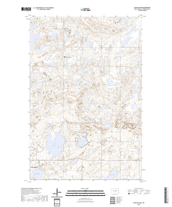
2024 Map of Lake Williams
USGS Topo · Published 2024About this map
Lake Williams serves as the primary hub in this prairie landscape, where the grid of sectional roads like 43rd Ave SE and 17th St SE organizes the undulating terrain of the Missouri Coteau. This region is characterized by its numerous small water bodies and wetlands, including Deer Lake and Ranch Lake, which are integral to the local ecosystem and managed in part by the Kidder County Waterfowl Production Area. For those tracing family histories in Kidder County, the map identifies several significant burial sites that reflect the area's pioneer heritage and religious foundations. These include the Petersville Cem, the Evangelical German Lutheran Zion Cem, and Saint Mary's Cem, each situated along the gravel roads that have connected these rural communities for generations.
Find a feature on this map
31 named features on this map. Tap any name to fly to it.
Don’t see what you’re looking for? This feature index may not catch every label — zoom into the map to look around manually.
Map Details
Editions of this 2024 Lake Williams Map
This is the sole edition of this map. No revisions or reprints were ever made.
Other maps of this area

1952 · New Rockford
USGS Topo · 1:250,000

1956 · New Rockford
USGS Topo · 1:250,000

1971 · New Rockford
USGS Topo · 1:250,000

1972 · Kunkel Lake
USGS Topo · 1:24,000
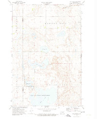
1972 · Lake Louise
USGS Topo · 1:24,000

1972 · Lake Williams
USGS Topo · 1:24,000
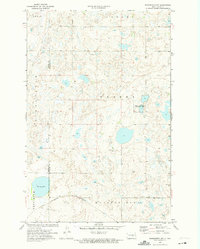
1972 · Woodworth NW
USGS Topo · 1:24,000
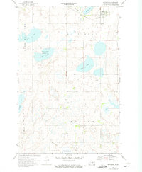
1972 · Pettibone
USGS Topo · 1:24,000

1972 · Des Moines Lake
USGS Topo · 1:24,000

1978 · Wagon Wheel Hill
USGS Topo · 1:24,000