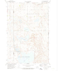
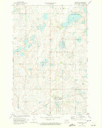
1972 Map of Lake Louise
USGS Topo · Published 1974About this map
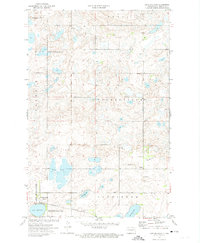
Chase Lake National Wildlife Refuge dominates the southern landscape of this 1970s survey, illustrating a region dedicated to conservation and habitat preservation. The complex hydrology of the prairie pothole region is evident in the numerous water bodies, including Chase Lake, Lake Louise, Chicago Lake, and Fisher Lake. These areas are protected through multiple overlapping designations such as the Chase Lake State Game Management Area and the National Waterfowl Production Area.
Find a feature on this map
14 named features on this map. Tap any name to fly to it.
Don’t see what you’re looking for? This feature index may not catch every label — zoom into the map to look around manually.
Map Details
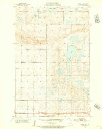
Editions of this 1972 Lake Louise Map
2 editions found

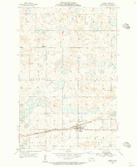
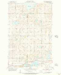
Other maps of this area
1952 · Tappen NE
USGS Topo · 1:24,000

1952 · New Rockford
USGS Topo · 1:250,000

1953 · Jamestown
USGS Topo · 1:250,000
1954 · Medina
USGS Topo · 1:24,000
1955 · Crystal Springs
USGS Topo · 1:24,000

1956 · New Rockford
USGS Topo · 1:250,000

1956 · Jamestown
USGS Topo · 1:250,000

1971 · New Rockford
USGS Topo · 1:250,000
1972 · Woodworth
USGS Topo · 1:24,000
1972 · Lake Williams
USGS Topo · 1:24,000