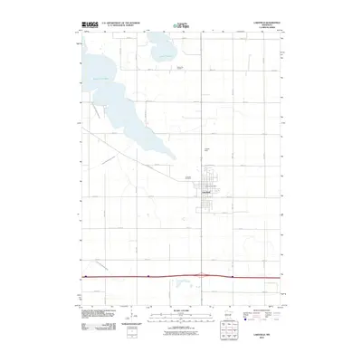
2010 Map of Lakefield
USGS Topo · Published 2010About this map
Lakefield is the central hub of this southwestern Minnesota landscape, where the town's residential streets and the Lakefield Post Office contrast with the surrounding agricultural grid. The region's water management is a defining characteristic, evidenced by the extensive network of engineered waterways such as Judicial Ditch Number Seventeen, Judicial Ditch Number Three, and County Ditch Number Eleven. These systems drain the fertile prairie lands between South Lake Heron and Lake Flaherty, reflecting over a century of land reclamation for farming.
Find a feature on this map
31 named features on this map. Tap any name to fly to it.
Don’t see what you’re looking for? This feature index may not catch every label — zoom into the map to look around manually.
Map Details
Editions of this 2010 Lakefield Map
This is the sole edition of this map. No revisions or reprints were ever made.
Other maps of this area

1954 · Fairmont
USGS Topo · 1:250,000

1958 · Fairmont
USGS Topo · 1:250,000

1960 · Okabena
USGS Topo · 1:24,000

1960 · Sioux Valley
USGS Topo · 1:24,000

1970 · Lakefield SW
USGS Topo · 1:24,000

1970 · Lakefield NE
USGS Topo · 1:24,000

1970 · Wilder
USGS Topo · 1:24,000

1970 · Lakefield SE
USGS Topo · 1:24,000

1970 · Lakefield
USGS Topo · 1:24,000

1970 · Windom
USGS Topo · 1:24,000