
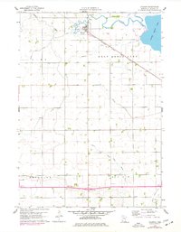
1960 Map of Okabena
USGS Topo · Published 1962About this map
Okabena serves as the central hub of this agricultural landscape in Jackson County, situated along the Chicago Milwaukee St Paul and Pacific railroad line. The surrounding terrain is a complex network of drainage and water management, illustrated by numerous numbered judicial ditches like Judicial Ditch No 31 and Judicial Ditch No 84 that feed into Okabena Creek and South Heron Lake. These features reveal the mid-century transformation of the prairie into productive farmland.
Find a feature on this map
21 named features on this map. Tap any name to fly to it.
Don’t see what you’re looking for? This feature index may not catch every label — zoom into the map to look around manually.
Map Details
Editions of this 1960 Okabena Map
2 editions found
Other maps of this area

1954 · Fairmont
USGS Topo · 1:250,000

1958 · Fairmont
USGS Topo · 1:250,000

1960 · Brewster
USGS Topo · 1:24,000

1960 · Round Lake
USGS Topo · 1:24,000

1960 · Sioux Valley
USGS Topo · 1:24,000

1970 · Lakefield SW
USGS Topo · 1:24,000

1970 · Dundee
USGS Topo · 1:24,000

1970 · Wilder
USGS Topo · 1:24,000

1970 · Lakefield
USGS Topo · 1:24,000
1970 · Heron Lake
USGS Topo · 1:24,000