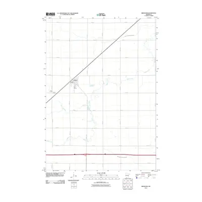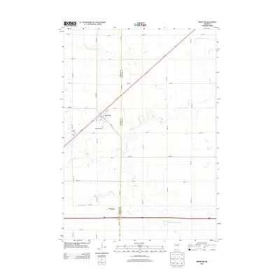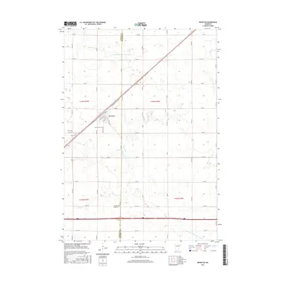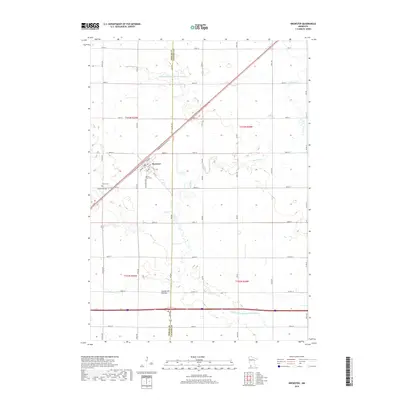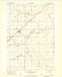
1960 Map of Brewster
USGS Topo · Published 1961About this map
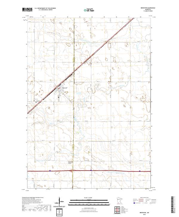
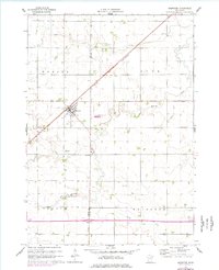
Brewster serves as the primary hub of this agricultural landscape in southwestern Minnesota, situated at a vital junction of rail and road transportation. The Chicago and North Western railroad bisects the terrain diagonally, driving the development of the township structure that includes Hersey, Alba, Lorain, and Ewington. The land is defined by a sophisticated water management system of judicial ditches, including Judicial Ditch No 76 and Judicial Ditch No 84, which coordinate with natural drainages like Okabena Creek and Elk Creek. Local history is anchored by the Trinity Cem and Hersey Cem, while small-scale industrial sites such as a Gravel Pit and several sandpits dot the countryside. A lone Townhall in the southeastern corner further illustrates the decentralized civic life of these rural farming communities during the early 1960s.
Find a feature on this map
20 named features on this map. Tap any name to fly to it.
Don’t see what you’re looking for? This feature index may not catch every label — zoom into the map to look around manually.
Map Details
Editions of this 1960 Brewster Map
2 editions found
Historical Maps of Brewster Through Time
6 maps found