
1970 Map of Dundee
USGS Topo · Published 1972About this map
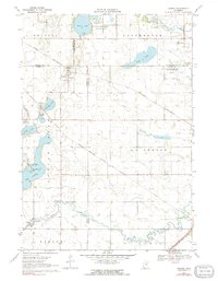
The Chicago and North Western and Chicago Milwaukee St Paul and Pacific railroads intersect near the small agricultural hub of Dundee, defining the logistical character of this prairie landscape during the early 1970s. The region is characterized by a series of significant water bodies, including Talcot Lake, Clear Lake, and the meandering Des Moines River, which are surrounded by extensive conservation areas like the Talcot Lake State Wildlife Management Area. Local history is anchored by St Marys Church and its accompanying cemetery in Dundee, while the smaller settlement of Kinbrae sits tucked between Kinbrae Lake and Kinbrae Slough. The presence of numerous gravel pits suggests the ongoing importance of local mineral extraction to support the township's infrastructure and transport networks.
Find a feature on this map
35 named features on this map. Tap any name to fly to it.
Don’t see what you’re looking for? This feature index may not catch every label — zoom into the map to look around manually.
Map Details
Editions of this 1970 Dundee Map
2 editions found
Other maps of this area

1954 · Fairmont
USGS Topo · 1:250,000

1958 · Fairmont
USGS Topo · 1:250,000

1960 · Brewster
USGS Topo · 1:24,000

1960 · Okabena
USGS Topo · 1:24,000

1960 · Worthington North
USGS Topo · 1:24,000

1970 · Heron Lake NW
USGS Topo · 1:24,000
1970 · Heron Lake NE
USGS Topo · 1:24,000

1970 · Fulda
USGS Topo · 1:24,000
1970 · Lime Creek
USGS Topo · 1:24,000
1970 · Heron Lake
USGS Topo · 1:24,000