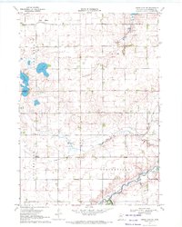
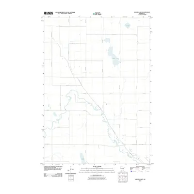
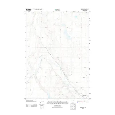
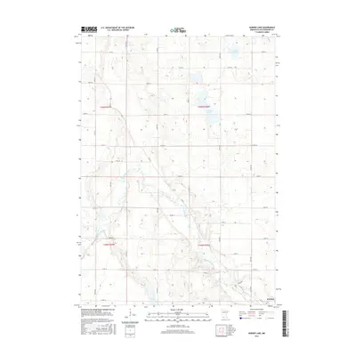
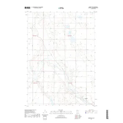
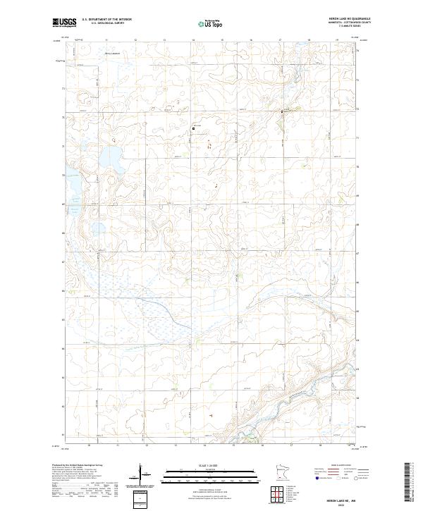
1970 Map of Heron Lake NE
USGS Topo · Published 1972About this map
Des Moines River waters wind through the southeastern corner of this Cottonwood County landscape, providing a natural contrast to the rigid grid of the surrounding prairie. This 1970s survey captures a transition in land use, where the draining of wetlands is evident in features like Berry Lakebed and the extensive network of drainage projects such as Judicial Ditch No 14 and Ditch No 2. Social life in the townships of Amo and Springfield centered on local institutions like Amo Ch, United Amo Ch, and the local Townhall. The glacial history of the region is written in the topography of Rose Hill and the scattered prairie potholes including Carey Lake, Long Lake, and Round Lake. Pockets of conservation are noted in the National Wildlife Management Area, preserving habitat amidst an agricultural terrain increasingly defined by geometric field lines and gravel extraction sites.
Find a feature on this map
24 named features on this map. Tap any name to fly to it.
Don’t see what you’re looking for? This feature index may not catch every label — zoom into the map to look around manually.
Map Details
Editions of this 1970 Heron Lake NE Map
This is the sole edition of this map. No revisions or reprints were ever made.
Historical Maps of Cottonwood County Through Time
24 maps found
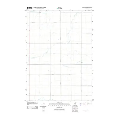
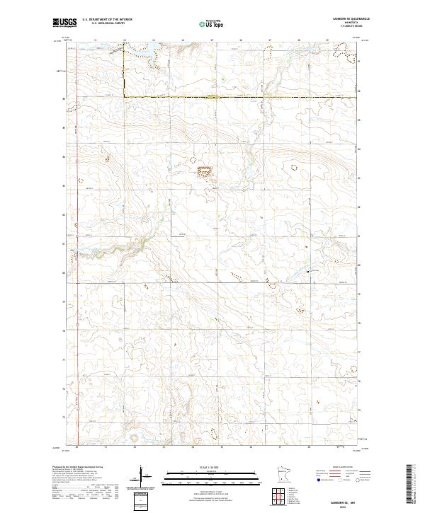
1967 Sanborn SE
Cottonwood County, MN
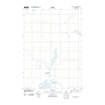
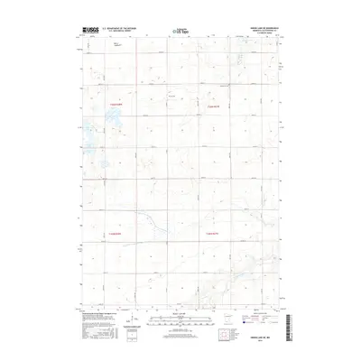
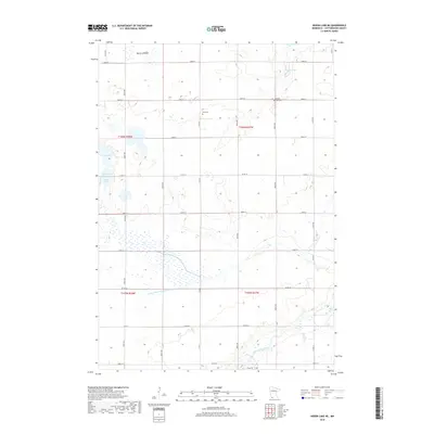
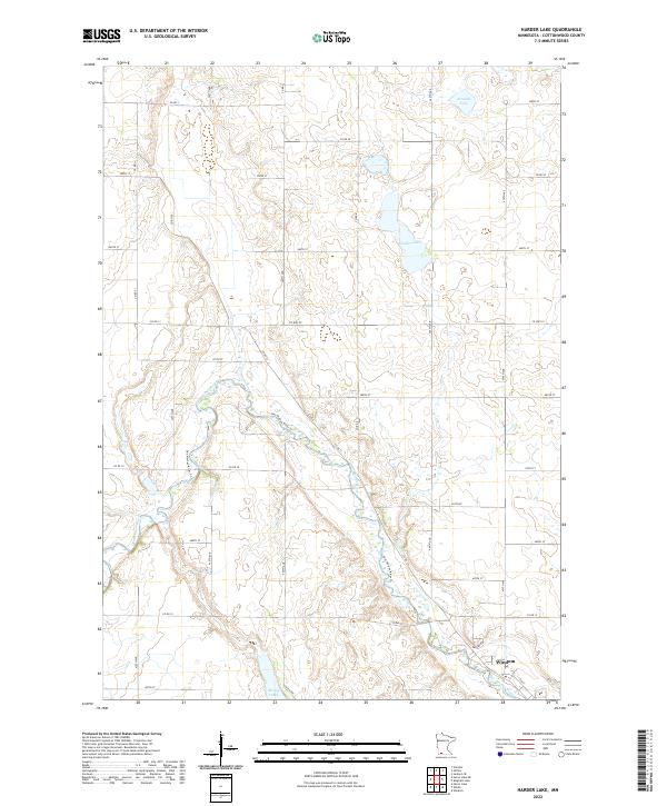
1970 Harder Lake
Cottonwood County, MN
1970 Heron Lake NE
Cottonwood County, MN
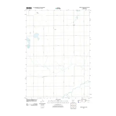
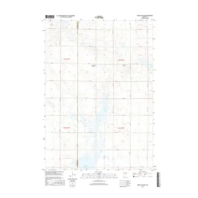
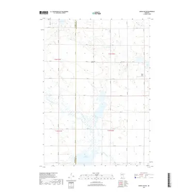
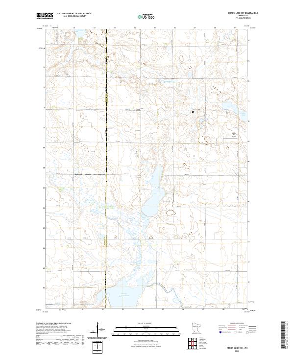
1970 Heron Lake NW
Cottonwood County, MN
2010 Harder Lake
Cottonwood County, MN
2010 Heron Lake NE
Cottonwood County, MN
2010 Heron Lake NW
Cottonwood County, MN
2010 Sanborn SE
Cottonwood County, MN
2013 Harder Lake
Cottonwood County, MN
2013 Heron Lake NE
Cottonwood County, MN
2013 Heron Lake NW
Cottonwood County, MN
2013 Sanborn SE
Cottonwood County, MN
2016 Harder Lake
Cottonwood County, MN
2016 Heron Lake NE
Cottonwood County, MN
2016 Heron Lake NW
Cottonwood County, MN
2016 Sanborn SE
Cottonwood County, MN
2019 Harder Lake
Cottonwood County, MN
2019 Heron Lake NE
Cottonwood County, MN
2019 Heron Lake NW
Cottonwood County, MN
2019 Sanborn SE
Cottonwood County, MN
2022 Harder Lake
Cottonwood County, MN
2022 Heron Lake NE
Cottonwood County, MN
2022 Heron Lake NW
Cottonwood County, MN
2022 Sanborn SE
Cottonwood County, MN