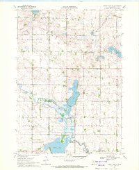
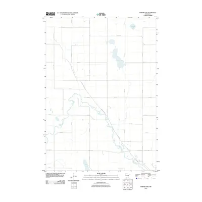
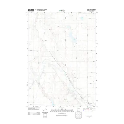
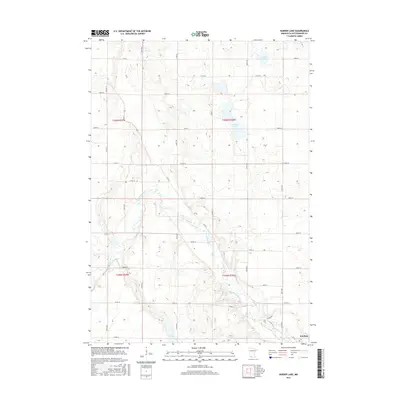
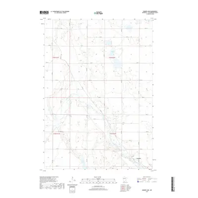
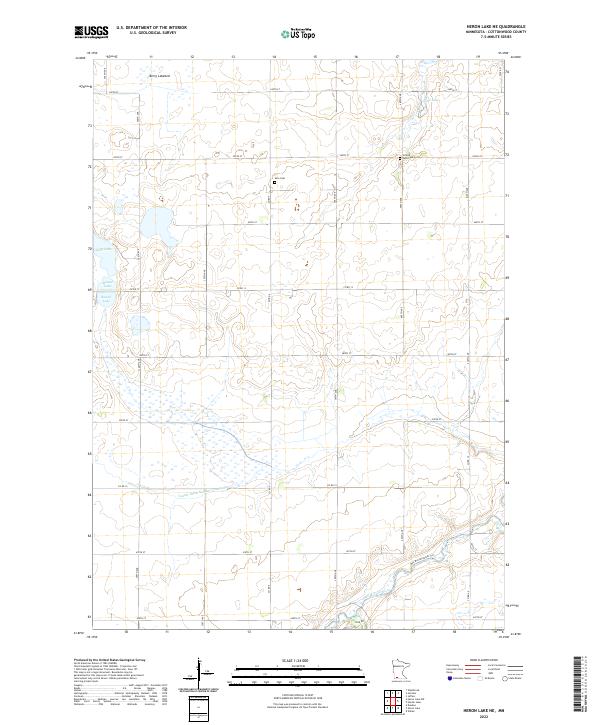
1970 Map of Heron Lake NW
USGS Topo · Published 1972About this map
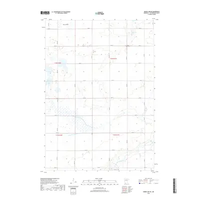
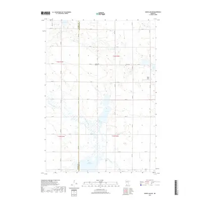
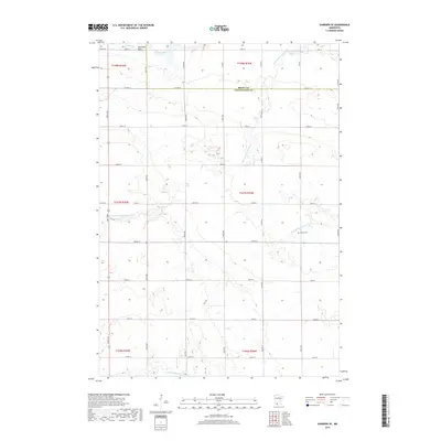
The winding Des Moines River cuts through this corner of Cottonwood and Murray Counties, shaping a landscape of glacial lakes and wetlands. In the early 1970s, the southern portion of this area was dedicated to conservation within the Talcot Lake State Wildlife Management Area, surrounding the expansive waters of Talcot Lake. The map reveals a rural community anchored by small landmarks of local history, including the Townhall in Rose Hill and several burial grounds such as Rosehill Cem and Emanuel Cem.
Find a feature on this map
16 named features on this map. Tap any name to fly to it.
Don’t see what you’re looking for? This feature index may not catch every label — zoom into the map to look around manually.
Map Details
Editions of this 1970 Heron Lake NW Map
This is the sole edition of this map. No revisions or reprints were ever made.
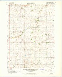
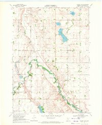
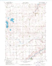
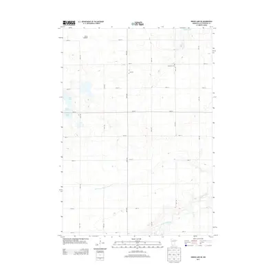
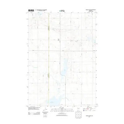
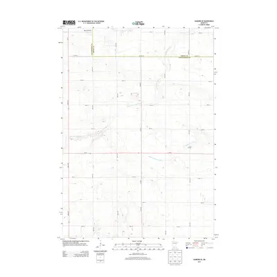
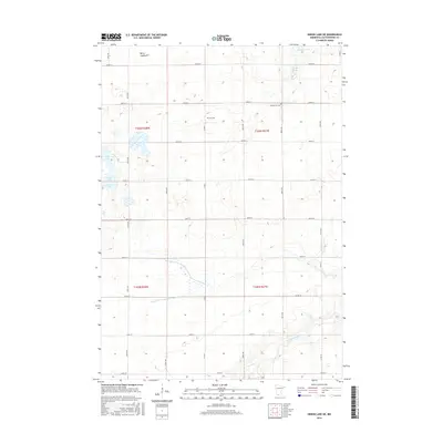
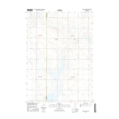
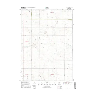
Historical Maps of Murray County Through Time
24 maps found
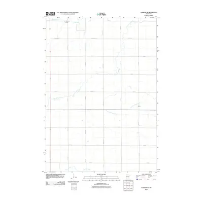
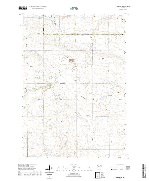
1967 Sanborn SE
Cottonwood County, MN
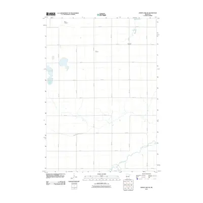
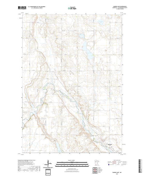
1970 Harder Lake
Cottonwood County, MN
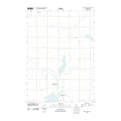
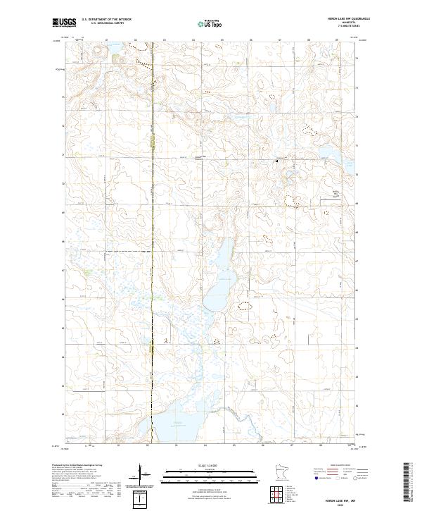
1970 Heron Lake NE
Cottonwood County, MN
1970 Heron Lake NW
Cottonwood County, MN
2010 Harder Lake
Cottonwood County, MN
2010 Heron Lake NE
Cottonwood County, MN
2010 Heron Lake NW
Cottonwood County, MN
2010 Sanborn SE
Cottonwood County, MN
2013 Harder Lake
Cottonwood County, MN
2013 Heron Lake NE
Cottonwood County, MN
2013 Heron Lake NW
Cottonwood County, MN
2013 Sanborn SE
Cottonwood County, MN
2016 Harder Lake
Cottonwood County, MN
2016 Heron Lake NE
Cottonwood County, MN
2016 Heron Lake NW
Cottonwood County, MN
2016 Sanborn SE
Cottonwood County, MN
2019 Harder Lake
Cottonwood County, MN
2019 Heron Lake NE
Cottonwood County, MN
2019 Heron Lake NW
Cottonwood County, MN
2019 Sanborn SE
Cottonwood County, MN
2022 Harder Lake
Cottonwood County, MN
2022 Heron Lake NE
Cottonwood County, MN
2022 Heron Lake NW
Cottonwood County, MN
2022 Sanborn SE
Cottonwood County, MN