
1967 Map of Dovray
USGS Topo · Published 1969About this map
Dovray sits as a central rail hub along the Chicago and North Western line in this Murray County landscape. The era’s focus on conservation is evident through several protected zones, including the Sweetman State Wildlife Management Area and the Buffalo Lake State Wildlife Management Area. The terrain is defined by a distinctive series of depressions, many labeled as lakebeds such as Star Lakebed and Rush Lakebed, indicating a hydrologic pattern of seasonal or former wetlands. Genealogists will find significant local data in the clusters of rural landmarks, including School No 1204 and several burial grounds like the Old German Cem and Willow Lake Cem. The southern reach of the map is dominated by the winding course of the Des Moines River, which is fed by smaller tributaries like Devils Run.
Find a feature on this map
31 named features on this map. Tap any name to fly to it.
Don’t see what you’re looking for? This feature index may not catch every label — zoom into the map to look around manually.
Map Details
Editions of this 1967 Dovray Map
This is the sole edition of this map. No revisions or reprints were ever made.
Other maps of this area

1953 · New Ulm
USGS Topo · 1:250,000

1954 · Fairmont
USGS Topo · 1:250,000

1957 · New Ulm
USGS Topo · 1:250,000

1958 · New Ulm
USGS Topo · 1:250,000

1958 · Fairmont
USGS Topo · 1:250,000

1967 · New Ulm
USGS Topo · 1:250,000

1967 · Walnut Grove
USGS Topo · 1:24,000

1967 · Tracy East
USGS Topo · 1:24,000
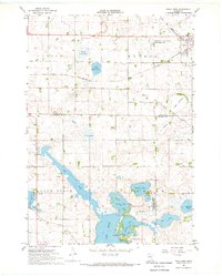
1967 · Tracy West
USGS Topo · 1:24,000
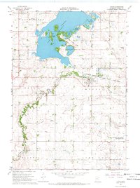
1967 · Currie
USGS Topo · 1:24,000