
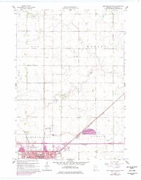
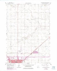
1960 Map of Worthington North
USGS Topo · Published 1962About this map
The growing town of Worthington anchors this 1960 survey, situated at the confluence of agriculture and transportation in Nobles County. The northern expansion of the city is evident, showcasing civic landmarks like the County Fairground, Worthington Municipal Airport, and local education hubs such as Christian Sch and the High Sch. The landscape is defined by the drainage patterns of Elk Creek, Okabena Creek, and the engineered Judicial Ditch No 8, which highlight the region's transition from prairie to highly managed farmland.
Find a feature on this map
23 named features on this map. Tap any name to fly to it.
Don’t see what you’re looking for? This feature index may not catch every label — zoom into the map to look around manually.
Map Details
Editions of this 1960 Worthington North Map
3 editions found
Other maps of this area

1954 · Fairmont
USGS Topo · 1:250,000

1958 · Fairmont
USGS Topo · 1:250,000

1960 · Brewster
USGS Topo · 1:24,000

1960 · Reading
USGS Topo · 1:24,000

1960 · Bigelow
USGS Topo · 1:24,000

1960 · Worthington South
USGS Topo · 1:24,000

1960 · Round Lake
USGS Topo · 1:24,000

1970 · Dundee
USGS Topo · 1:24,000

1970 · Fulda
USGS Topo · 1:24,000
1970 · Fulda SW
USGS Topo · 1:24,000