
1970 Map of Windom
USGS Topo · Published 1972About this map
The Des Moines River flows through the Great Bend, anchoring the city of Windom at a time when the Chicago and North Western railroad still connected the town to the broader Minnesota prairie. This 1970 field check captures the community’s infrastructure, from the St Francis Xavier Ch and Highland Sch to the local Hospital and Radio Towers (KDOM). The landscape is defined by its glacial heritage, featuring a series of large water bodies like Cottonwood Lake, Fish Lake, and Summit Lake. Beyond the urban core, the map detail extends into the townships of Delafield and Christiania, revealing a rural network of Gravel Pits and scattered country institutions such as Bethany Ch. Conservation areas, including the Banks State Wildlife Management Area, highlight the efforts to preserve the marshlands and lake shores that dot the terrain.
Find a feature on this map
42 named features on this map. Tap any name to fly to it.
Don’t see what you’re looking for? This feature index may not catch every label — zoom into the map to look around manually.
Map Details
Editions of this 1970 Windom Map
This is the sole edition of this map. No revisions or reprints were ever made.
Other maps of this area

1954 · Fairmont
USGS Topo · 1:250,000

1958 · Fairmont
USGS Topo · 1:250,000

1970 · Jackson NW
USGS Topo · 1:24,000

1970 · Lakefield NE
USGS Topo · 1:24,000
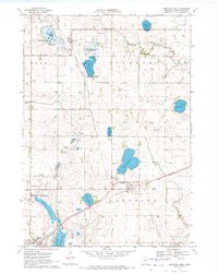
1970 · Bingham Lake
USGS Topo · 1:24,000
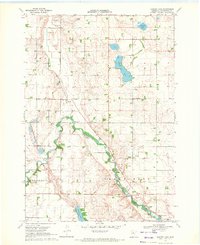
1970 · Harder Lake
USGS Topo · 1:24,000

1970 · Wilder
USGS Topo · 1:24,000
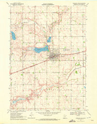
1970 · Mountain Lake
USGS Topo · 1:24,000

1970 · Lakefield
USGS Topo · 1:24,000
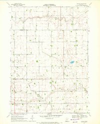
1970 · Bergen
USGS Topo · 1:24,000