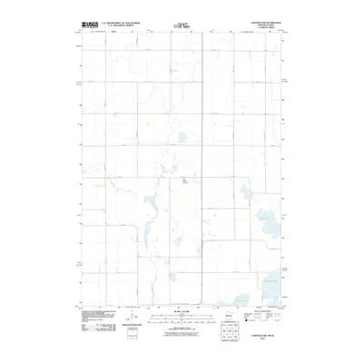
2010 Map of Lakefield SW
USGS Topo · Published 2010About this map
The Little Sioux River meanders through this agricultural section of Dickinson County, marking a landscape defined by glacial lakes and a precise grid of rural roads. This region, captured in 2010, shows the enduring structure of Iowa's farmland where section lines like 740th St and 440th Ave dictate the movement of both modern commerce and local history. Near the center of the quadrangle, Holy Trinity Cemetery stands as a focal point for genealogy, located just north of a widening in the river valley.
Find a feature on this map
23 named features on this map. Tap any name to fly to it.
Don’t see what you’re looking for? This feature index may not catch every label — zoom into the map to look around manually.
Map Details
Editions of this 2010 Lakefield SW Map
This is the sole edition of this map. No revisions or reprints were ever made.
Other maps of this area

1954 · Fairmont
USGS Topo · 1:250,000

1958 · Fairmont
USGS Topo · 1:250,000

1960 · Okabena
USGS Topo · 1:24,000

1960 · Sioux Valley
USGS Topo · 1:24,000

1970 · Lakefield SW
USGS Topo · 1:24,000

1970 · Lakefield NE
USGS Topo · 1:24,000

1970 · Okoboji
USGS Topo · 1:24,000

1970 · Lakefield SE
USGS Topo · 1:24,000

1970 · Lakefield
USGS Topo · 1:24,000

1970 · Spirit Lake
USGS Topo · 1:24,000