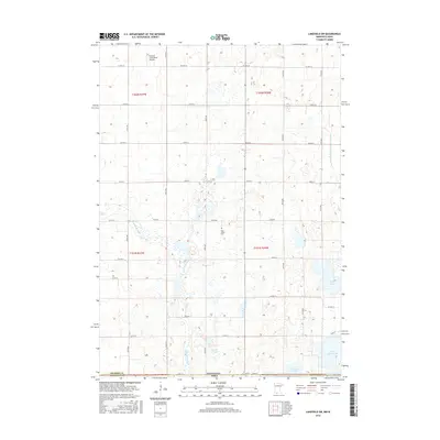
2016 Map of Lakefield SW
USGS Topo · Published 2016About this map
The Little Sioux River meanders southward through this rural corridor along the Minnesota Iowa border, defining a landscape of agricultural sections and prairie wetlands. This 2016 survey documents the intricate water systems of northern Dickinson County, where Sangls Slough and Rush Lake dominate the eastern reaches. The presence of the Holy Trinity Cem and the Nauerth Land Ranch Airport provides specific landmarks within the otherwise open township grids of t101n r36w and its neighbors. To the south, the shoreline of Little Spirit Lake and the marshy edges of Grovers Lake mark the transition toward the Iowa Great Lakes region. The map also records the engineered hydrology of the era, including the Judicial Ditch Number Thirtyfive, which channels water across the section lines of Jackson County.
Find a feature on this map
27 named features on this map. Tap any name to fly to it.
Don’t see what you’re looking for? This feature index may not catch every label — zoom into the map to look around manually.
Map Details
Editions of this 2016 Lakefield SW Map
This is the sole edition of this map. No revisions or reprints were ever made.
Other maps of this area

1954 · Fairmont
USGS Topo · 1:250,000

1958 · Fairmont
USGS Topo · 1:250,000

1960 · Okabena
USGS Topo · 1:24,000

1960 · Sioux Valley
USGS Topo · 1:24,000

1970 · Lakefield SW
USGS Topo · 1:24,000

1970 · Lakefield NE
USGS Topo · 1:24,000

1970 · Okoboji
USGS Topo · 1:24,000

1970 · Lakefield SE
USGS Topo · 1:24,000

1970 · Lakefield
USGS Topo · 1:24,000

1970 · Spirit Lake
USGS Topo · 1:24,000