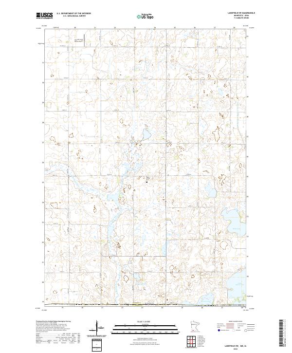
2022 Map of Lakefield SW
USGS Topo · Published 2022About this map
The Little Sioux River meanders southward through this section of Jackson County, forming the primary drainage for a landscape defined by glacial basins and agricultural tracts. This 2022 survey documents the contemporary rural infrastructure of the Minnesota-Iowa border region, centered around the Holy Trinity Cem and the Nauerth Land Ranch Airport. The topography is punctuated by numerous wetlands and water bodies, including Rush Lake, Sangls Slough, and the northern reaches of Little Spirit Lake and Grovers Lake.
Find a feature on this map
25 named features on this map. Tap any name to fly to it.
Don’t see what you’re looking for? This feature index may not catch every label — zoom into the map to look around manually.
Map Details
Editions of this 2022 Lakefield SW Map
This is the sole edition of this map. No revisions or reprints were ever made.
Other maps of this area

1954 · Fairmont
USGS Topo · 1:250,000

1958 · Fairmont
USGS Topo · 1:250,000

1960 · Okabena
USGS Topo · 1:24,000

1960 · Sioux Valley
USGS Topo · 1:24,000

1970 · Lakefield SW
USGS Topo · 1:24,000

1970 · Lakefield NE
USGS Topo · 1:24,000

1970 · Okoboji
USGS Topo · 1:24,000

1970 · Lakefield SE
USGS Topo · 1:24,000

1970 · Lakefield
USGS Topo · 1:24,000

1970 · Spirit Lake
USGS Topo · 1:24,000