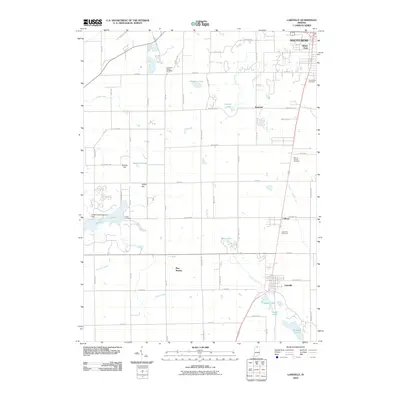
2010 Map of Lakeville
USGS Topo · Published 2010About this map
Lakeville sits at the heart of this Southern St. Joseph County landscape, where the agrarian history of Northern Indiana meets the expanding outskirts of South Bend. This 2010 survey records a transition from the dense residential grid of Gilmer Park to the open fields and drainage networks like Authen Ditch and Shideler Hoffman Ditch. To the west, the Potato Creek Reservoir Dam controls the waters of Worster Lake, a significant local landmark that contrasts with the smaller natural basins of Wharton Lake and Catfish Lake.
Find a feature on this map
63 named features on this map. Tap any name to fly to it.
Don’t see what you’re looking for? This feature index may not catch every label — zoom into the map to look around manually.
Map Details
Editions of this 2010 Lakeville Map
This is the sole edition of this map. No revisions or reprints were ever made.
Other maps of this area

1953 · Chicago
USGS Topo · 1:250,000

1957 · Chicago
USGS Topo · 1:250,000

1958 · South Bend East
USGS Topo · 1:24,000

1958 · South Bend West
USGS Topo · 1:24,000

1958 · Lydick
USGS Topo · 1:24,000

1958 · Bremen
USGS Topo · 1:24,000

1958 · La Paz
USGS Topo · 1:24,000

1958 · Walkerton
USGS Topo · 1:24,000

1958 · North Liberty
USGS Topo · 1:24,000

1958 · Lakeville
USGS Topo · 1:24,000