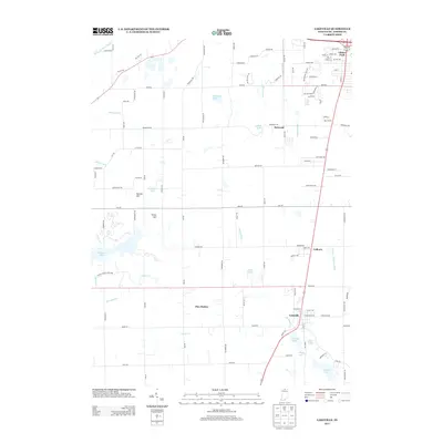
2013 Map of Lakeville
USGS Topo · Published 2013About this map
Lakeville and its surrounding agricultural and recreational lands are defined by an intricate network of waterways and glacial lakes in this Saint Joseph County landscape. The sprawling Potato Creek State Park anchors the southwestern portion of the sheet, centered on Worster Lake and the winding course of Potato Cr. Local topography is punctuated by features like Reeves Hill and Vargo Hill, which rise above the system of drainage ditches, including the Schang Ditch and Dixon W Place Ditch, that have long supported the region's farming heritage.
Find a feature on this map
95 named features on this map. Tap any name to fly to it.
Don’t see what you’re looking for? This feature index may not catch every label — zoom into the map to look around manually.
Map Details
Editions of this 2013 Lakeville Map
This is the sole edition of this map. No revisions or reprints were ever made.
Other maps of this area

1953 · Chicago
USGS Topo · 1:250,000

1957 · Chicago
USGS Topo · 1:250,000

1958 · South Bend East
USGS Topo · 1:24,000

1958 · South Bend West
USGS Topo · 1:24,000

1958 · Lydick
USGS Topo · 1:24,000

1958 · Bremen
USGS Topo · 1:24,000

1958 · La Paz
USGS Topo · 1:24,000

1958 · Walkerton
USGS Topo · 1:24,000

1958 · North Liberty
USGS Topo · 1:24,000

1958 · Lakeville
USGS Topo · 1:24,000