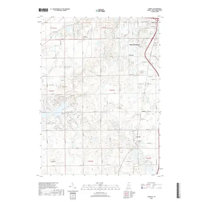
2019 Map of Lakeville
USGS Topo · Published 2019About this map
Potato Creek State Park dominates the western portion of this Saint Joseph County landscape, showcasing a complex network of recreational paths including the Bicycle Trail and various bridle and mountain bike trails. The centerpiece of this natural area is Worster Lake, which was created by damming Potato Creek to provide a recreational hub for the region. The map captures the suburban and rural character south of South Bend, where residential clusters like Gilmer Park and Nutwood meet an intricate system of drainage ditches, such as Schang Ditch and Auten Ditch, which manage the low-lying glacial terrain.
Find a feature on this map
105 named features on this map. Tap any name to fly to it.
Don’t see what you’re looking for? This feature index may not catch every label — zoom into the map to look around manually.
Map Details
Editions of this 2019 Lakeville Map
This is the sole edition of this map. No revisions or reprints were ever made.
Other maps of this area

1953 · Chicago
USGS Topo · 1:250,000

1957 · Chicago
USGS Topo · 1:250,000

1958 · South Bend East
USGS Topo · 1:24,000

1958 · South Bend West
USGS Topo · 1:24,000

1958 · Lydick
USGS Topo · 1:24,000

1958 · Bremen
USGS Topo · 1:24,000

1958 · La Paz
USGS Topo · 1:24,000

1958 · Walkerton
USGS Topo · 1:24,000

1958 · North Liberty
USGS Topo · 1:24,000

1958 · Lakeville
USGS Topo · 1:24,000