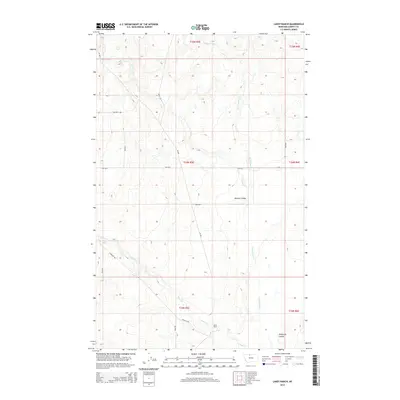
2014 Map of Lakey Ranch
USGS Topo · Published 2014About this map
Lakey Ranch anchors this high plains landscape in Liberty County, where a network of ephemeral streams and coulees defines the local geography. The drainage patterns of Horse Cr, Government Cr, and Corral Cr create a series of natural corridors through the terrain, most notably at Bourne Coulee and Phillipine Coulee. This 2014 survey illustrates how modern infrastructure adapts to these landforms, with roads like Freight Rd and Tiber Rd following the contours of the drainage basins. The map captures the specialized land use of the northern Montana rangeland, where named ranching outposts like Lakey Ranch serve as primary landmarks across a vast system of section lines and gravel routes including Rock Rd and 1950 Rd S.
Find a feature on this map
23 named features on this map. Tap any name to fly to it.
Don’t see what you’re looking for? This feature index may not catch every label — zoom into the map to look around manually.
Map Details
Editions of this 2014 Lakey Ranch Map
This is the sole edition of this map. No revisions or reprints were ever made.
Other maps of this area

1919 · Alma
USGS Topo · 1:125,000

1954 · Shelby
USGS Topo · 1:250,000

1958 · Shelby
USGS Topo · 1:250,000

1962 · Tiber
USGS Topo · 1:24,000

1962 · Lakey Ranch
USGS Topo · 1:24,000

1962 · North Lothair School
USGS Topo · 1:24,000

1962 · Blair Ranch
USGS Topo · 1:24,000

1962 · Haystack Butte
USGS Topo · 1:24,000

1962 · Mount Lebanon
USGS Topo · 1:24,000

1963 · Vaver Reservoir
USGS Topo · 1:24,000