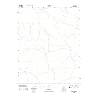
2010 Map of Lambing Spring
USGS Topo · Published 2010About this map
Mestas Cemetery sits as a quiet landmark in this corner of Las Animas County, providing a tangible connection to local family histories in a landscape defined by its high desert drainages and geologic formations. The terrain is dominated by the prominent ridge of The Hogback, which cuts across the upper portion of the quadrangle. Water remains the primary shaper of this environment, seen in the seasonal course of Van Bremer Arroyo and the presence of Lambing Spring, an essential water source for livestock and travelers in this arid region. The map captures a network of rural roads and trails that trace the movements of ranchers and land managers through the basin at the beginning of the twenty-first century.
Find a feature on this map
4 named features on this map. Tap any name to fly to it.
Don’t see what you’re looking for? This feature index may not catch every label — zoom into the map to look around manually.
Map Details
Editions of this 2010 Lambing Spring Map
This is the sole edition of this map. No revisions or reprints were ever made.
Other maps of this area

1891 · Mesa De Maya
USGS Topo · 1:125,000

1892 · Elmoro
USGS Topo · 1:125,000

1893 · Elmoro
USGS Topo · 1:125,000

1893 · Mesa de Maya
USGS Topo · 1:125,000

1897 · Elmoro
USGS Topo · 1:125,000

1954 · Trinidad
USGS Topo · 1:250,000

1955 · La Junta
USGS Topo · 1:250,000

1955 · Trinidad
USGS Topo · 1:250,000

1958 · La Junta
USGS Topo · 1:250,000

1958 · Trinidad
USGS Topo · 1:250,000