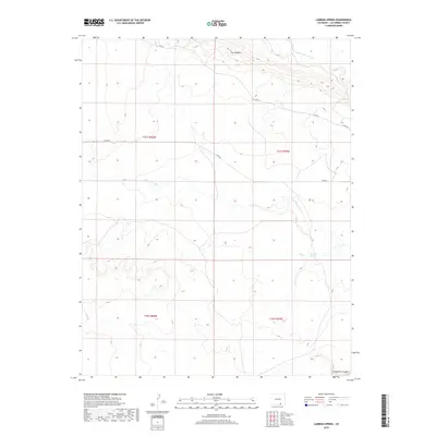
2019 Map of Lambing Spring
USGS Topo · Published 2019About this map
Lambing Spring serves as a vital water point in this arid stretch of Las Animas County, where the landscape is defined by the deep incisions of the Purgatoire Canyon to the southeast. The terrain features prominent geological formations such as The Hogback, which influences the drainage patterns of ephemeral waterways like Van Bremer Arroyo and Luning Arroyo. This 2019 survey documents a largely undeveloped region where human activity is primarily traced through a sparse network of rural routes, including Co Rd 54 and Co Rd 48. The land is divided into townships such as t31s r59w and t32s r60w, reflecting the long-standing Public Land Survey System. The map captures the interface between the high plains and the canyon lands, a region shaped more by hydrology and geology than by dense settlement.
Find a feature on this map
12 named features on this map. Tap any name to fly to it.
Don’t see what you’re looking for? This feature index may not catch every label — zoom into the map to look around manually.
Map Details
Editions of this 2019 Lambing Spring Map
This is the sole edition of this map. No revisions or reprints were ever made.
Other maps of this area

1891 · Mesa De Maya
USGS Topo · 1:125,000

1892 · Elmoro
USGS Topo · 1:125,000

1893 · Elmoro
USGS Topo · 1:125,000

1893 · Mesa de Maya
USGS Topo · 1:125,000

1897 · Elmoro
USGS Topo · 1:125,000

1954 · Trinidad
USGS Topo · 1:250,000

1955 · La Junta
USGS Topo · 1:250,000

1955 · Trinidad
USGS Topo · 1:250,000

1958 · La Junta
USGS Topo · 1:250,000

1958 · Trinidad
USGS Topo · 1:250,000