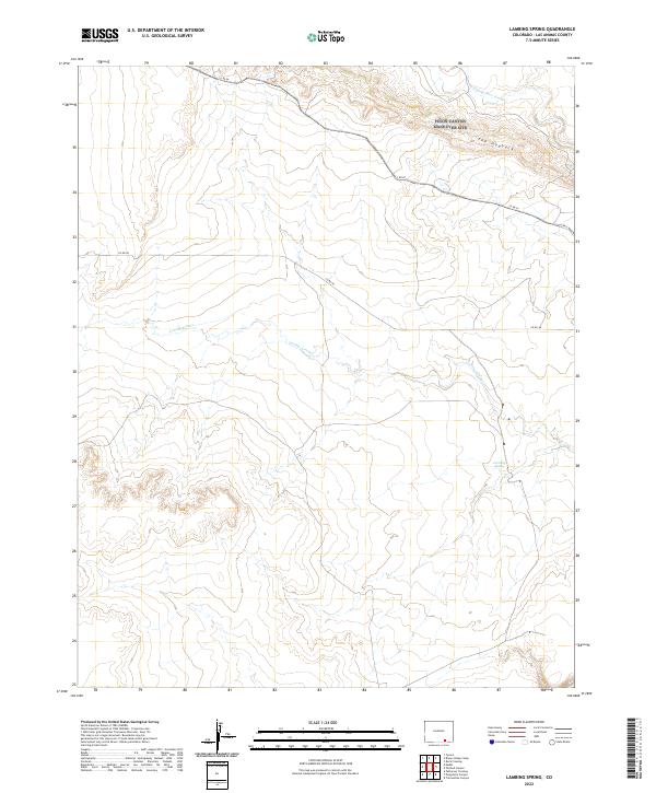
2022 Map of Lambing Spring
USGS Topo · Published 2022About this map
Luning Arroyo and Van Bremer Arroyo define the hydraulic character of this high-plains landscape in southeastern Las Animas County. The terrain is dominated by The Hogback, a prominent ridge feature in the northern portion of the quadrangle that reveals the underlying geological structure of the region. This is a largely unpopulated area of the state, where the presence of Lambing Spring represents a critical water source in a dry environment. The sparse transportation network consists primarily of county routes such as Co Rd 54 and Co Rd 48, which follow the natural contours of the arroyos and ridges rather than a strict grid. These roads provide access to the remote sections of the Public Land Survey System townships, including t31s r60w and t32s r59w, where the landscape remains largely defined by its natural drainage patterns and topographical relief.
Find a feature on this map
11 named features on this map. Tap any name to fly to it.
Don’t see what you’re looking for? This feature index may not catch every label — zoom into the map to look around manually.
Map Details
Editions of this 2022 Lambing Spring Map
This is the sole edition of this map. No revisions or reprints were ever made.
Other maps of this area

1891 · Mesa De Maya
USGS Topo · 1:125,000

1892 · Elmoro
USGS Topo · 1:125,000

1893 · Elmoro
USGS Topo · 1:125,000

1893 · Mesa de Maya
USGS Topo · 1:125,000

1897 · Elmoro
USGS Topo · 1:125,000

1954 · Trinidad
USGS Topo · 1:250,000

1955 · La Junta
USGS Topo · 1:250,000

1955 · Trinidad
USGS Topo · 1:250,000

1958 · La Junta
USGS Topo · 1:250,000

1958 · Trinidad
USGS Topo · 1:250,000