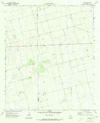
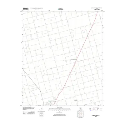
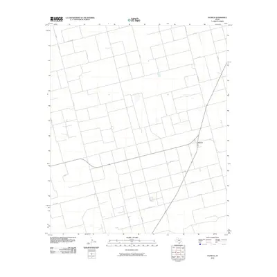
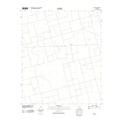
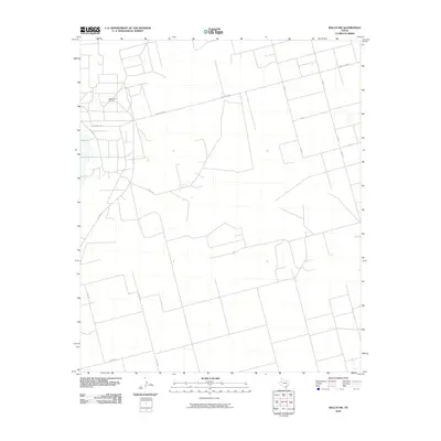
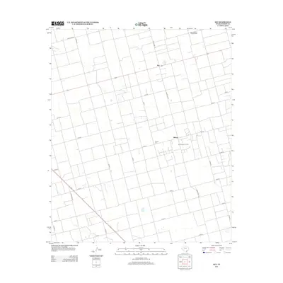
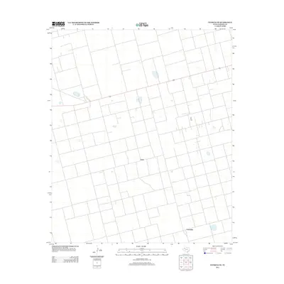
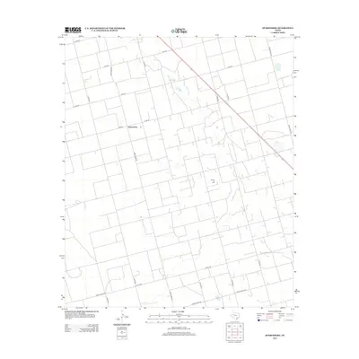
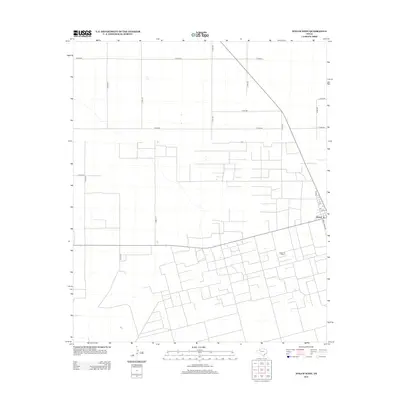
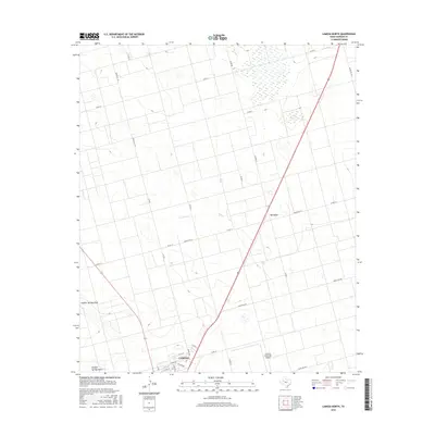
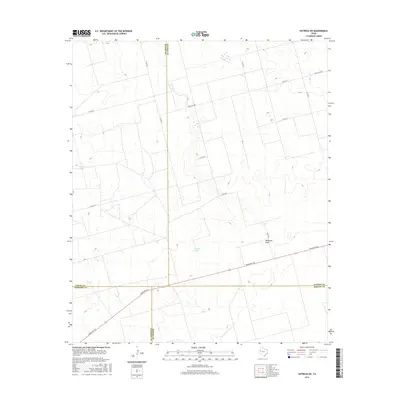
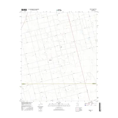
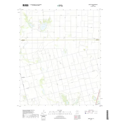
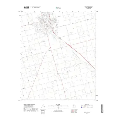
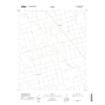
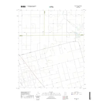
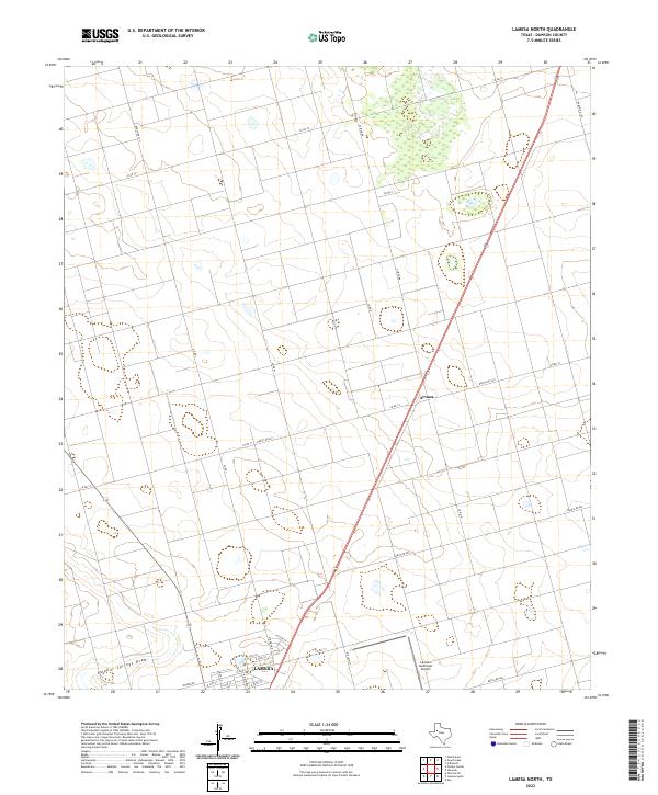
1968 Map of Lamesa North
USGS Topo · Published 1971About this map
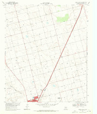
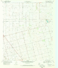
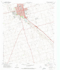
The Atchison Topeka and Santa Fe railroad cuts a sharp diagonal across the High Plains landscape, serving as the industrial backbone for this Dawson County region. In the late 1960s, the northern outskirts of Lamesa show a city beginning to expand past North Park and Sulphur Springs Draw, balanced between its urban core and the wide-open ranching and oil lands to the north. Evidence of the local aviation economy is clear with both Johnson Airfield and the Lamesa Municipal Airfield positioned near the town's edge.
Find a feature on this map
12 named features on this map. Tap any name to fly to it.
Don’t see what you’re looking for? This feature index may not catch every label — zoom into the map to look around manually.
Map Details
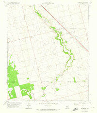
Editions of this 1968 Lamesa North Map
This is the sole edition of this map. No revisions or reprints were ever made.
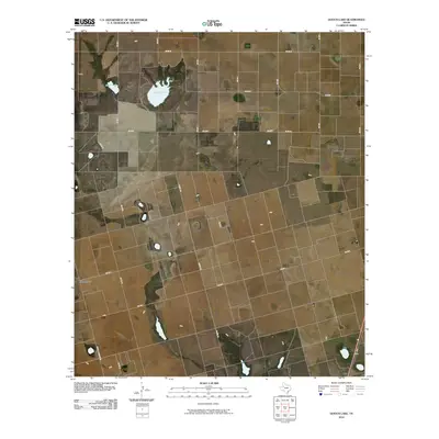
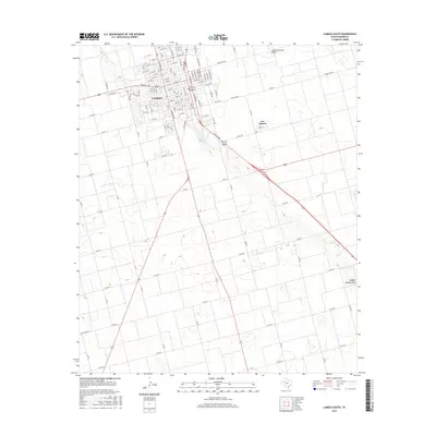
Historical Maps of Lamesa Through Time
90 maps found
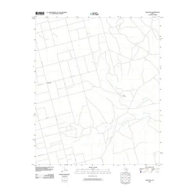
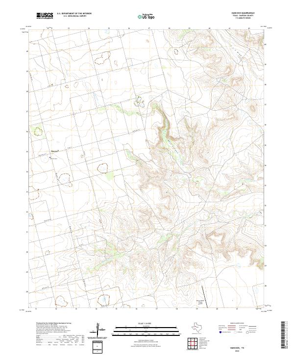
1968 Hancock
Dawson County, TX
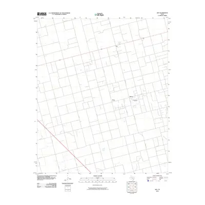
1968 Lamesa North
Dawson County, TX
1969 Gooch Lake
Dawson County, TX
1969 Punkin Center
Dawson County, TX
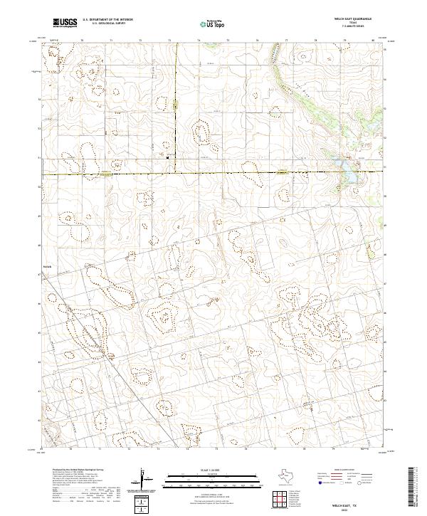
1969 Welch East
Dawson County, TX
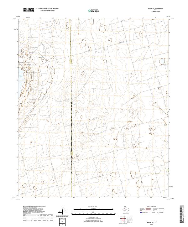
1969 Welch SW
Dawson County, TX
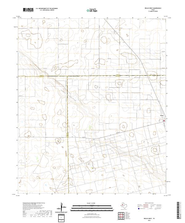
1969 Welch West
Dawson County, TX
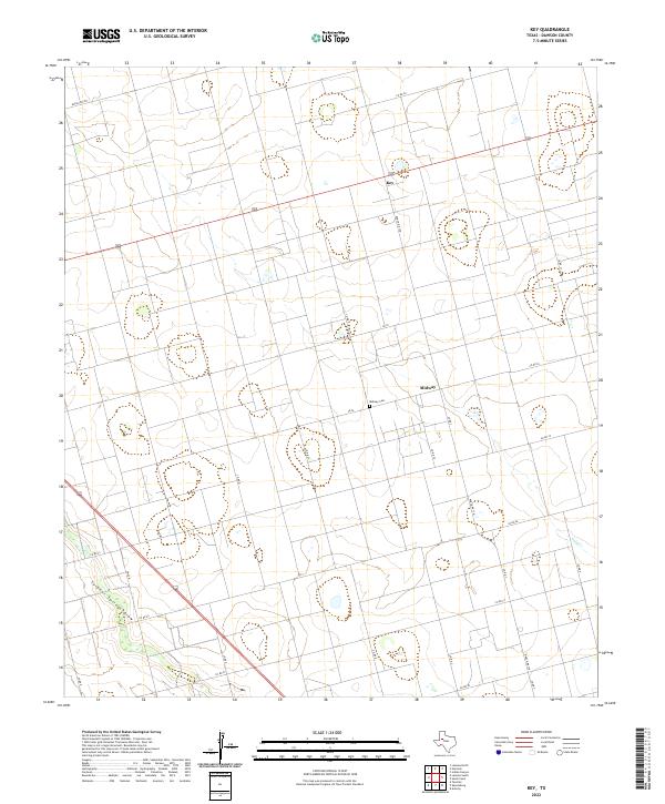
1970 Key
Dawson County, TX
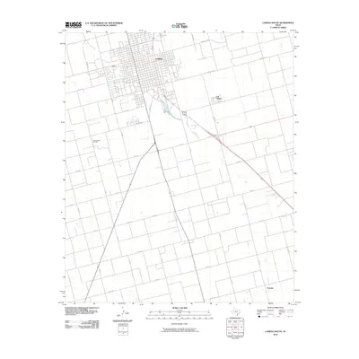
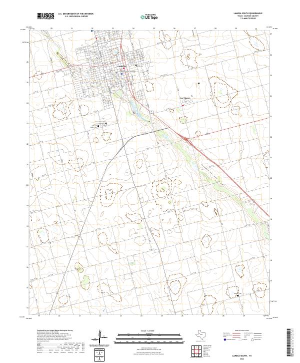
1970 Lamesa South
Dawson County, TX
1970 Patricia
Dawson County, TX
1970 Patricia NE
Dawson County, TX
1970 Patricia SW
Dawson County, TX
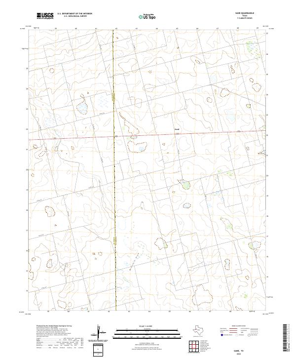
1970 Sand
Dawson County, TX
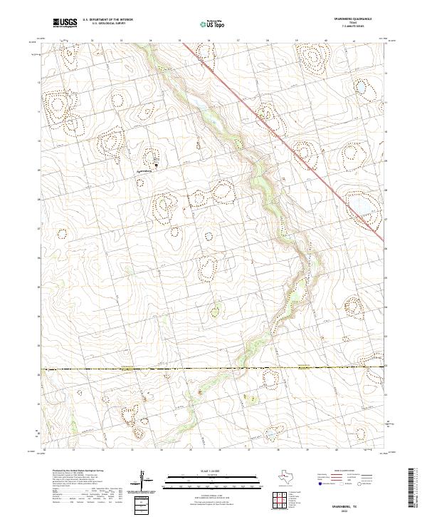
1970 Sparenberg
Dawson County, TX
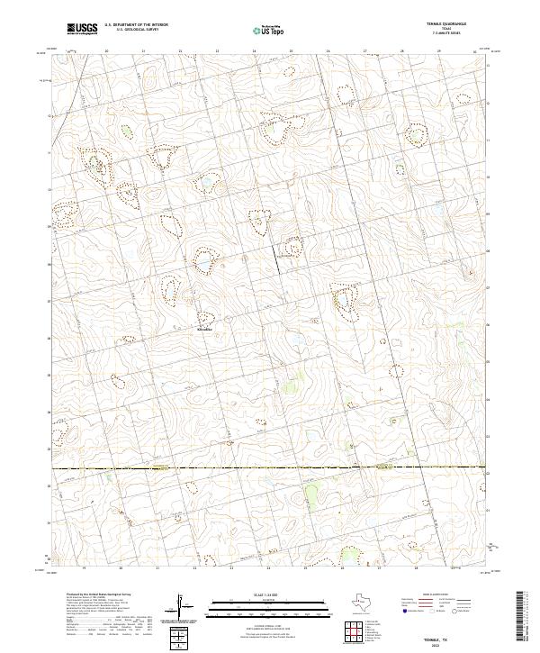
1970 Tenmile
Dawson County, TX
2010 Gooch Lake
Dawson County, TX
2010 Hancock
Dawson County, TX
2010 Key
Dawson County, TX
2010 Lamesa North
Dawson County, TX
2010 Lamesa South
Dawson County, TX
2010 Patricia
Dawson County, TX
2010 Patricia NE
Dawson County, TX
2010 Patricia SW
Dawson County, TX
2010 Punkin Center
Dawson County, TX
2010 Sand
Dawson County, TX
2010 Sparenberg
Dawson County, TX
2010 Tenmile
Dawson County, TX
2010 Welch East
Dawson County, TX
2010 Welch SW
Dawson County, TX
2010 Welch West
Dawson County, TX
2012 Gooch Lake
Dawson County, TX
2012 Hancock
Dawson County, TX
2012 Key
Dawson County, TX
2012 Lamesa North
Dawson County, TX
2012 Lamesa South
Dawson County, TX
2012 Patricia
Dawson County, TX
2012 Patricia NE
Dawson County, TX
2012 Patricia SW
Dawson County, TX
2012 Punkin Center
Dawson County, TX
2012 Sand
Dawson County, TX
2012 Sparenberg
Dawson County, TX
2012 Tenmile
Dawson County, TX
2012 Welch East
Dawson County, TX
2012 Welch SW
Dawson County, TX
2012 Welch West
Dawson County, TX
2016 Gooch Lake
Dawson County, TX
2016 Hancock
Dawson County, TX
2016 Key
Dawson County, TX
2016 Lamesa North
Dawson County, TX
2016 Lamesa South
Dawson County, TX
2016 Patricia
Dawson County, TX
2016 Patricia NE
Dawson County, TX
2016 Patricia SW
Dawson County, TX
2016 Punkin Center
Dawson County, TX
2016 Sand
Dawson County, TX
2016 Sparenberg
Dawson County, TX
2016 Tenmile
Dawson County, TX
2016 Welch East
Dawson County, TX
2016 Welch SW
Dawson County, TX
2016 Welch West
Dawson County, TX
2019 Gooch Lake
Dawson County, TX
2019 Hancock
Dawson County, TX
2019 Key
Dawson County, TX
2019 Lamesa North
Dawson County, TX
2019 Lamesa South
Dawson County, TX
2019 Patricia
Dawson County, TX
2019 Patricia NE
Dawson County, TX
2019 Patricia SW
Dawson County, TX
2019 Punkin Center
Dawson County, TX
2019 Sand
Dawson County, TX
2019 Sparenberg
Dawson County, TX
2019 Tenmile
Dawson County, TX
2019 Welch East
Dawson County, TX
2019 Welch SW
Dawson County, TX
2019 Welch West
Dawson County, TX
2022 Gooch Lake
Dawson County, TX
2022 Hancock
Dawson County, TX
2022 Key
Dawson County, TX
2022 Lamesa North
Dawson County, TX
2022 Lamesa South
Dawson County, TX
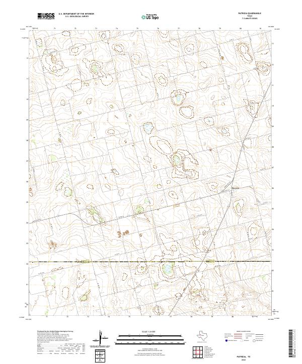
2022 Patricia
Dawson County, TX
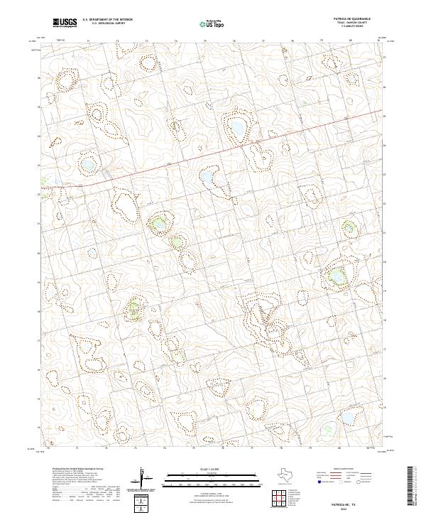
2022 Patricia NE
Dawson County, TX
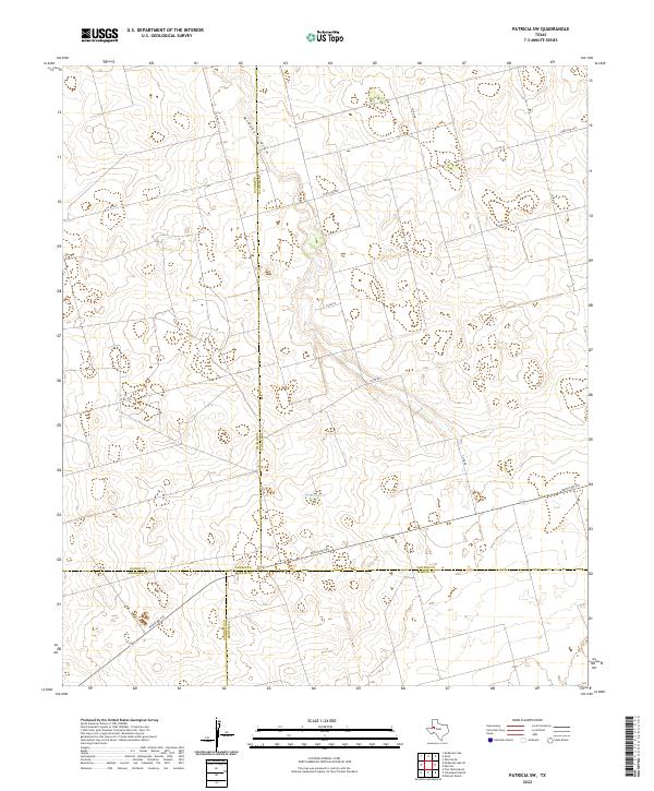
2022 Patricia SW
Dawson County, TX
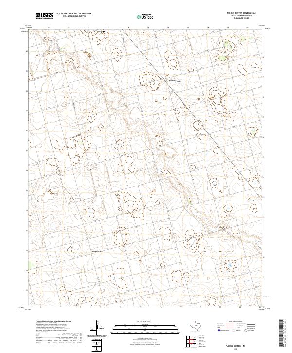
2022 Punkin Center
Dawson County, TX
2022 Sand
Dawson County, TX
2022 Sparenberg
Dawson County, TX
2022 Tenmile
Dawson County, TX
2022 Welch East
Dawson County, TX
2022 Welch SW
Dawson County, TX
2022 Welch West
Dawson County, TX