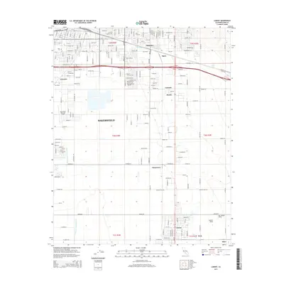
2015 Map of Lamont
USGS Topo · Published 2015About this map
Bakersfield and its southeastern industrial and residential extensions appear in this mid-2010s survey, showing the complex web of irrigation and logistics essential to the southern San Joaquin Valley. The landscape is dominated by the grid of the city and its surrounding satellite settlements, such as Lamont, Magunden, and Harpertown. Water management is prominent throughout the quadrangle, with the Central Br Kern Island Canal and E Side Canal cutting across the agricultural and developed lands. The presence of the Bakersfield Municipal Airport and the historic Union Cem provide anchor points for local history researchers. This era shows the continued expansion of the valley's infrastructure, where names like Algoso, Kayandee, and Patch denote the small clusters of habitation and industry that have long characterized the Kern County interior.
Find a feature on this map
103 named features on this map. Tap any name to fly to it.
Don’t see what you’re looking for? This feature index may not catch every label — zoom into the map to look around manually.
Map Details
Editions of this 2015 Lamont Map
This is the sole edition of this map. No revisions or reprints were ever made.
Other maps of this area

1906 · Bakersfield
USGS Topo · 1:62,500

1910 · Buena Vista Lake
USGS Topo · 1:125,000

1912 · Buena Vista Lake
USGS Topo · 1:125,000

1914 · Caliente
USGS Topo · 1:125,000

1929 · Fairfax School
USGS Topo · 1:31,680

1930 · Weed Patch
USGS Topo · 1:31,680

1930 · Arvin
USGS Topo · 1:31,680

1930 · Conner
USGS Topo · 1:31,680

1930 · Oildale
USGS Topo · 1:31,680

1931 · Edison
USGS Topo · 1:31,680