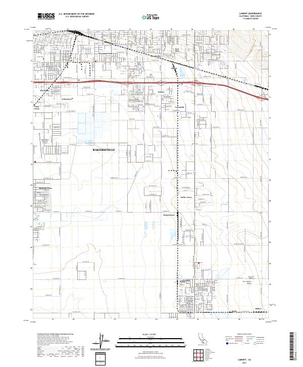
2021 Map of Lamont
USGS Topo · Published 2021About this map
The southeastern reaches of Bakersfield and the productive agricultural floor of the San Joaquin Valley define this landscape, where irrigation infrastructure like the E Side Canal and Central Br Kern Island Canal supports a network of small settlements and labor centers. Established residential pockets such as Potomac Park, Magunden, and Rexland Acres are positioned near critical transport and industry, while the Bakersfield Municipal Airport serves as a hub for the region's aviation needs. The southern portion of the map is anchored by the community of Lamont, surrounded by the wide-open tracts of the San Joaquin Valley. Moving eastward, the terrain begins to rise toward the Sierra foothills, marked by the transit corridor of the Edison Hwy and the community of Algoso. This survey captures the specialized development of Kern County, from the venerable Union Cem to the outlying hamlets of Harpertown and Fuller Acres.
Find a feature on this map
120 named features on this map. Tap any name to fly to it.
Don’t see what you’re looking for? This feature index may not catch every label — zoom into the map to look around manually.
Map Details
Editions of this 2021 Lamont Map
This is the sole edition of this map. No revisions or reprints were ever made.
Other maps of this area

1906 · Bakersfield
USGS Topo · 1:62,500

1910 · Buena Vista Lake
USGS Topo · 1:125,000

1912 · Buena Vista Lake
USGS Topo · 1:125,000

1914 · Caliente
USGS Topo · 1:125,000

1929 · Fairfax School
USGS Topo · 1:31,680

1930 · Weed Patch
USGS Topo · 1:31,680

1930 · Arvin
USGS Topo · 1:31,680

1930 · Conner
USGS Topo · 1:31,680

1930 · Oildale
USGS Topo · 1:31,680

1931 · Edison
USGS Topo · 1:31,680