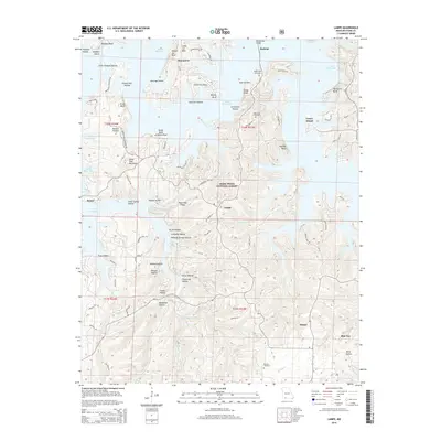
2015 Map of Lampe
USGS Topo · Published 2015About this map
Table Rock Lake dominates the northern reaches of this landscape, its winding shoreline and islands like Coney Island defining the modern topography of Stone County. The transition from the high ridges of the Mark Twain National Forest to the deeply carved valleys is evident in the numerous hollows, including Wolfpen Hollow and Yocum Hollow. Settlements such as Lampe, Baxter, and Marmaros are scattered among these landforms, connected by a network of local roads that follow the contours of Bread Tray Mountain and Black Oak Ridge.
Find a feature on this map
85 named features on this map. Tap any name to fly to it.
Don’t see what you’re looking for? This feature index may not catch every label — zoom into the map to look around manually.
Map Details
Editions of this 2015 Lampe Map
This is the sole edition of this map. No revisions or reprints were ever made.
Other maps of this area

1900 · Eureka Springs
USGS Topo · 1:125,000

1901 · Eureka Springs
USGS Topo · 1:125,000

1904 · Harrison
USGS Topo · 1:125,000

1905 · Harrison
USGS Topo · 1:125,000

1907 · Forsyth
USGS Topo · 1:125,000

1927 · Shell Knob
USGS Topo · 1:62,500

1945 · Harrison
USGS Topo · 1:250,000

1949 · Harrison
USGS Topo · 1:250,000

1950 · Shell Knob
USGS Topo · 1:62,500

1950 · Garber
USGS Topo · 1:24,000