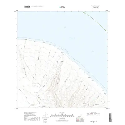
2017 Map of Lanai North
USGS Topo · Published 2017About this map
Deeply incised gulches define the northern coastline of Lāna‘i, where the island meets the Kalohi Channel and the ‘Au‘au Channel. This coastal landscape is marked by numerous historic sites and natural landmarks, from the Kaa Fishpond near Keomuku to the steep cliffs of Hinuhinu Pali. Local geography is characterized by a series of parallel drainage systems, including Maunalei Gulch, Hauola Gulch, and Nāhoko Gulch, which descend from the central highlands toward the sea.
Find a feature on this map
59 named features on this map. Tap any name to fly to it.
Don’t see what you’re looking for? This feature index may not catch every label — zoom into the map to look around manually.
Map Details
Editions of this 2017 Lanai North Map
This is the sole edition of this map. No revisions or reprints were ever made.
Other maps of this area

1923 · Island of Lanai
USGS Topo · 1:31,680

1925 · Island of Lanai
USGS Topo · 1:62,500

1954 · Maui
USGS Topo · 1:250,000

1966 · Maui
USGS Topo · 1:250,000

1974 · Maui
USGS Topo · 1:250,000
1984 · Lanai North
USGS Topo · 1:25,000
1984 · Lanai South
USGS Topo · 1:25,000
1991 · Makalau
USGS Topo · 1:24,000
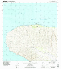
1991 · Garden Of The Gods
USGS Topo · 1:24,000
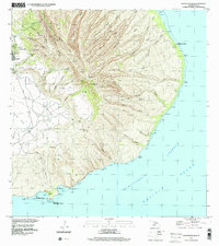
1992 · Haalelepaakai
USGS Topo · 1:24,000