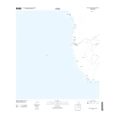
2013 Map of Lanai South OE W
USGS Topo · Published 2013About this map
Kaumalapau stands as the primary maritime gateway on the western coast of the island in this early 21st-century record. The landscape is defined by its deep incisions, where Kaumalapa‘u Gulch and Hōnōpū Gulch meet the Pacific Ocean, forming a rugged shoreline marked by distinctive features like Nānāhoa. While the interior centers around the infrastructure of the Lānai Airport and the settlement at Iliolono, the coast remains the focus of navigation and geographic identity.
Find a feature on this map
29 named features on this map. Tap any name to fly to it.
Don’t see what you’re looking for? This feature index may not catch every label — zoom into the map to look around manually.
Map Details
Editions of this 2013 Lanai South OE W Map
This is the sole edition of this map. No revisions or reprints were ever made.
Other maps of this area

1923 · Island of Lanai
USGS Topo · 1:31,680

1925 · Island of Lanai
USGS Topo · 1:62,500

1954 · Maui
USGS Topo · 1:250,000

1966 · Maui
USGS Topo · 1:250,000

1974 · Maui
USGS Topo · 1:250,000
1984 · Lanai North
USGS Topo · 1:25,000
1984 · Lanai South
USGS Topo · 1:25,000
1992 · Lanai City
USGS Topo · 1:24,000
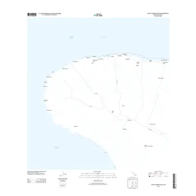
2013 · Lanai North OE W
USGS Topo · 1:24,000
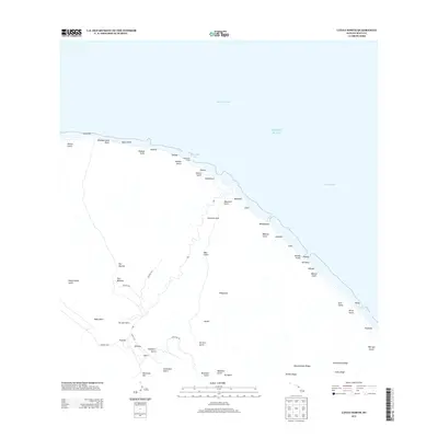
2013 · Lanai North
USGS Topo · 1:24,000