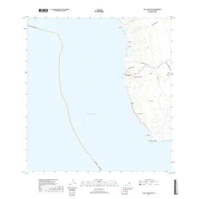
2017 Map of Lanai South OE W
USGS Topo · Published 2017About this map
Kaumalapau serves as a primary coastal gateway on this southwestern portion of Lāna‘i, where the land drops sharply from volcanic uplands to the Pacific Ocean. This 2017 survey details a landscape defined by deep gulches and steep cliffs, most notably at Kaholo Pali and Kahilikalanī. To the north, Kaumalapau Harbor provides critical maritime access, while the interior plateau supports transportation infrastructure via Kaupili Rd and Lanai Airport Rd, leading toward Lanai Airport and the settlement of Iliolono. The coastline is carved into numerous small inlets and points, including Hōnōpū Bay, Keone Bay, and Palaoa Point at the southern tip. The mapping clearly illustrates the dramatic topographic transition between the high ridges of Pu‘u‘ula‘ula and the rocky shorelines at Kāne‘āpua and Mokunaio.
Find a feature on this map
30 named features on this map. Tap any name to fly to it.
Don’t see what you’re looking for? This feature index may not catch every label — zoom into the map to look around manually.
Map Details
Editions of this 2017 Lanai South OE W Map
This is the sole edition of this map. No revisions or reprints were ever made.
Other maps of this area

1923 · Island of Lanai
USGS Topo · 1:31,680

1925 · Island of Lanai
USGS Topo · 1:62,500

1954 · Maui
USGS Topo · 1:250,000

1966 · Maui
USGS Topo · 1:250,000

1974 · Maui
USGS Topo · 1:250,000
1984 · Lanai North
USGS Topo · 1:25,000
1984 · Lanai South
USGS Topo · 1:25,000
1992 · Lanai City
USGS Topo · 1:24,000
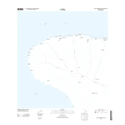
2013 · Lanai North OE W
USGS Topo · 1:24,000
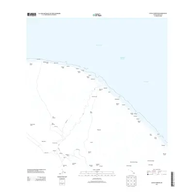
2013 · Lanai North
USGS Topo · 1:24,000