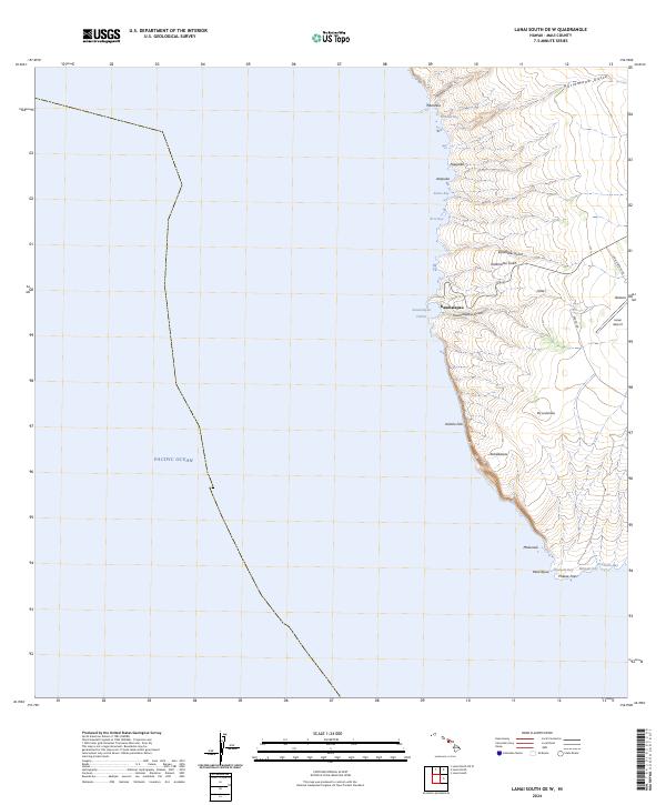
2024 Map of Lanai South OE W
USGS Topo · Published 2024About this map
Kaumalapau Harbor serves as a critical maritime gateway on the western coast of Lanai, as documented in this 2024 topographic survey. This area of Maui County shows the intersection of essential infrastructure and dramatic geology, where Kaumalapau sits at the foot of numerous erosional features including Kalamaiki Gulch and Kalamanui Gulch. The interior uplands are defined by the Lanai Airport and the settlement of Iliolono, connected to the coast via Lanai Airport Rd. To the south, the landscape is dominated by the massive coastal cliffs of Kaholo Pali, terminating at Palaoa Point. This coastline is punctuated by several small inlets such as Kaunolū Bay and Māmaki Bay, while the offshore landmark of Nānāhoa stands near Hōnōpū Bay. The map provides a detailed view of the contemporary transportation network and physical landmarks like Pu‘u‘ula‘ula that define this section of the island.
Find a feature on this map
28 named features on this map. Tap any name to fly to it.
Don’t see what you’re looking for? This feature index may not catch every label — zoom into the map to look around manually.
Map Details
Editions of this 2024 Lanai South OE W Map
This is the sole edition of this map. No revisions or reprints were ever made.
Other maps of this area

1923 · Island of Lanai
USGS Topo · 1:31,680

1925 · Island of Lanai
USGS Topo · 1:62,500

1954 · Maui
USGS Topo · 1:250,000

1966 · Maui
USGS Topo · 1:250,000

1974 · Maui
USGS Topo · 1:250,000
1984 · Lanai North
USGS Topo · 1:25,000
1984 · Lanai South
USGS Topo · 1:25,000
1992 · Lanai City
USGS Topo · 1:24,000
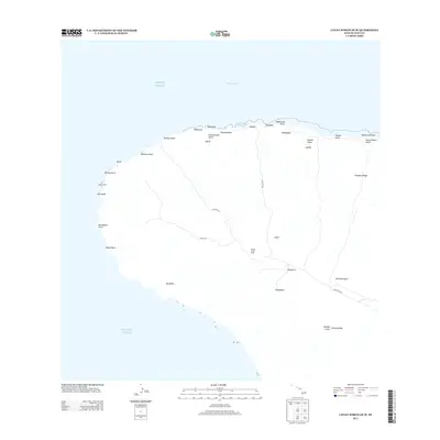
2013 · Lanai North OE W
USGS Topo · 1:24,000
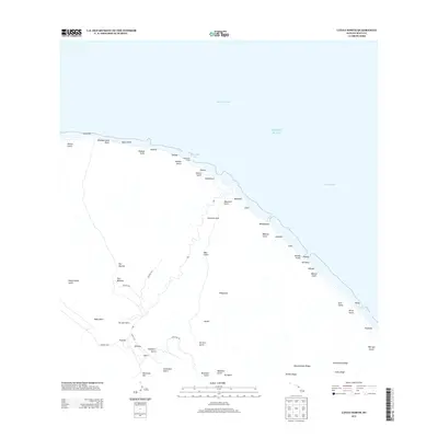
2013 · Lanai North
USGS Topo · 1:24,000