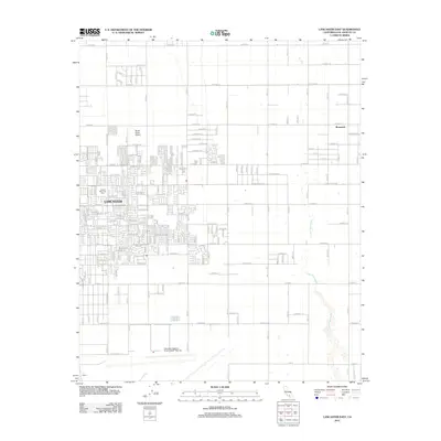
2012 Map of Lancaster East
USGS Topo · Published 2012About this map
Lancaster anchors the western portion of this High Desert landscape, showing the organized grid of residential expansion as it looked in the early 21st century. The map highlights the significant aerospace footprint of the region, dominated in the south by the Palmdale Regional Airport/USAF Plant 42, a facility vital to the area’s industrial and military identity. To the east, the terrain transitions into more sparsely settled land, where the community of Roosevelt and the Sterks Ranch Airport sit amidst a network of lettered avenues. Natural drainage is marked by the winding path of the Little Rock Wash, which cuts across the arid plains toward the northeast. This edition captures the intersection of suburban growth and the long-standing ranching and aviation heritage that defines the Antelope Valley corridor, providing a clear record of local street names like E Lancaster Blvd and Arnica Ln.
Find a feature on this map
59 named features on this map. Tap any name to fly to it.
Don’t see what you’re looking for? This feature index may not catch every label — zoom into the map to look around manually.
Map Details
Editions of this 2012 Lancaster East Map
This is the sole edition of this map. No revisions or reprints were ever made.
Other maps of this area

1915 · Elizabeth Lake
USGS Topo · 1:125,000

1917 · Elizabeth Lake
USGS Topo · 1:125,000

1930 · Oban
USGS Topo · 1:24,000

1930 · Roosevelt School
USGS Topo · 1:24,000

1930 · Casa Desierta
USGS Topo · 1:24,000

1930 · Lancaster
USGS Topo · 1:24,000

1930 · West Alpine Butte
USGS Topo · 1:24,000

1930 · Tierra Bonita
USGS Topo · 1:24,000

1933 · Lancaster
USGS Topo · 1:24,000

1933 · Casa Desierta
USGS Topo · 1:24,000