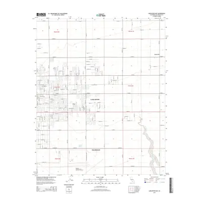
2015 Map of Lancaster East
USGS Topo · Published 2015About this map
The Antelope Valley landscape is defined by the rigid street grid of Lancaster and Palmdale, where the desert's alluvial features meet dense urban planning. In the southern portion of the quadrangle, the Palmdale United States Air Force Plant 42 Airport occupies a significant footprint, illustrating the region's long-standing connection to aerospace and defense. This 2015 survey shows the eastward expansion of these desert cities, where named thoroughfares like E Avenue I and E Avenue K provide the framework for residential and industrial growth.
Find a feature on this map
52 named features on this map. Tap any name to fly to it.
Don’t see what you’re looking for? This feature index may not catch every label — zoom into the map to look around manually.
Map Details
Editions of this 2015 Lancaster East Map
This is the sole edition of this map. No revisions or reprints were ever made.
Other maps of this area

1915 · Elizabeth Lake
USGS Topo · 1:125,000

1917 · Elizabeth Lake
USGS Topo · 1:125,000

1930 · Oban
USGS Topo · 1:24,000

1930 · Roosevelt School
USGS Topo · 1:24,000

1930 · Casa Desierta
USGS Topo · 1:24,000

1930 · Lancaster
USGS Topo · 1:24,000

1930 · West Alpine Butte
USGS Topo · 1:24,000

1930 · Tierra Bonita
USGS Topo · 1:24,000

1933 · Lancaster
USGS Topo · 1:24,000

1933 · Casa Desierta
USGS Topo · 1:24,000