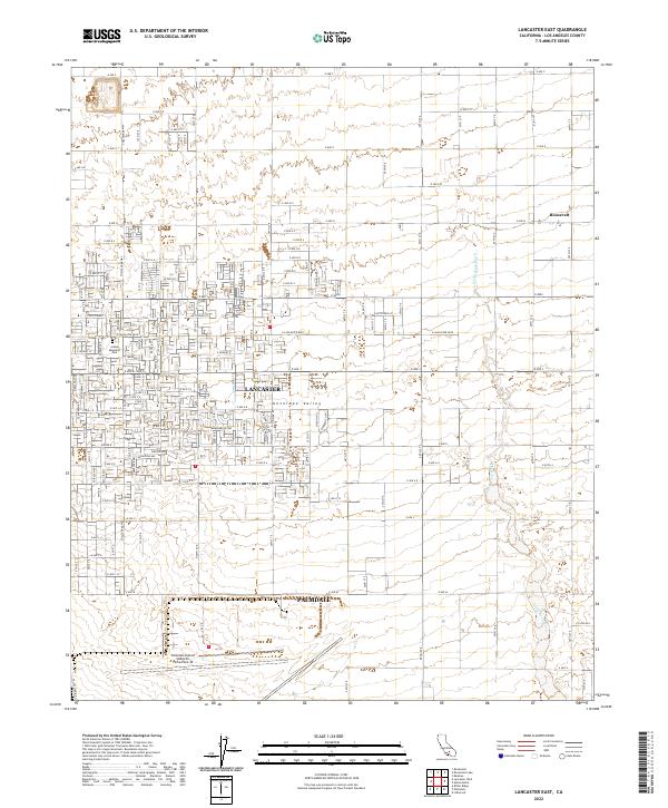
2022 Map of Lancaster East
USGS Topo · Published 2022About this map
Antelope Valley dominates this landscape, where the urban expansion of Lancaster and Palmdale meets the high desert. The map illustrates a strict grid of residential development and arterial roads like E Lancaster Blvd and E Nugent St, reflecting the rapid late-century growth of this region. To the north, the small settlement of Roosevelt remains separated from the main urban core by open terrain and drainage features like Little Rock Wash.
Find a feature on this map
58 named features on this map. Tap any name to fly to it.
Don’t see what you’re looking for? This feature index may not catch every label — zoom into the map to look around manually.
Map Details
Editions of this 2022 Lancaster East Map
This is the sole edition of this map. No revisions or reprints were ever made.
Other maps of this area

1915 · Elizabeth Lake
USGS Topo · 1:125,000

1917 · Elizabeth Lake
USGS Topo · 1:125,000

1930 · Oban
USGS Topo · 1:24,000

1930 · Roosevelt School
USGS Topo · 1:24,000

1930 · Casa Desierta
USGS Topo · 1:24,000

1930 · Lancaster
USGS Topo · 1:24,000

1930 · West Alpine Butte
USGS Topo · 1:24,000

1930 · Tierra Bonita
USGS Topo · 1:24,000

1933 · Lancaster
USGS Topo · 1:24,000

1933 · Casa Desierta
USGS Topo · 1:24,000