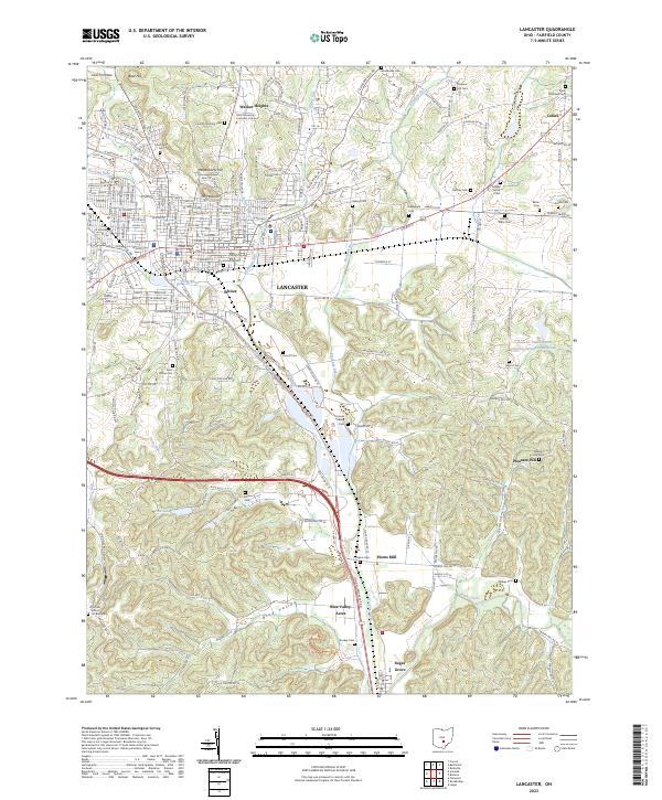
2023 Map of Lancaster
USGS Topo · Published 2023About this map
Lancaster serves as the focal point of this Fairfield County landscape, where the Hocking River and its numerous tributaries like Baldwin Run and Pleasant Run carve through the local topography. The map illustrates a dense concentration of civic and educational infrastructure, including the Ohio University - Lancaster Campus and the historic Waterworks Hill. Surrounding the city, a remarkable density of small family and community burial grounds, such as Stuckey Cem, Ream Cem, and the Amish Cem, provide a detailed genealogical record of the region's long-standing settlement patterns.
Find a feature on this map
74 named features on this map. Tap any name to fly to it.
Don’t see what you’re looking for? This feature index may not catch every label — zoom into the map to look around manually.
Map Details
Editions of this 2023 Lancaster Map
This is the sole edition of this map. No revisions or reprints were ever made.
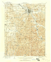
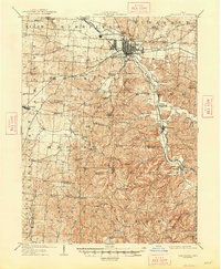
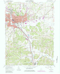
Historical Maps of Greenfield Township Through Time
5 maps found