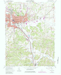
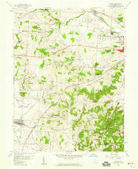
1961 Map of Lancaster
USGS Topo · Published 1985About this map
Lancaster serves as the focal point of this Fairfield County landscape, where the Hocking River valley dictates the orientation of both rail and road. The Chesapeake and Ohio line tracks the river's path southeast toward Sugar Grove, passing the historic site of Horns Mill. To the north, the prominence of Mt Pleasant overlooks a dense network of local institutions, including the Ohio University Lancaster Branch and several neighborhood schools like the Medill Sch and Gen Sherman Jr High Sch.
Find a feature on this map
64 named features on this map. Tap any name to fly to it.
Don’t see what you’re looking for? This feature index may not catch every label — zoom into the map to look around manually.
Map Details
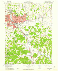
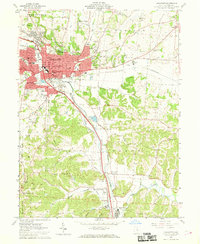
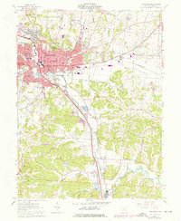
Editions of this 1961 Lancaster Map
4 editions found
Other maps of this area

1907 · Logan
USGS Topo · 1:62,500

1907 · Lancaster
USGS Topo · 1:62,500

1907 · Thurston
USGS Topo · 1:62,500

1909 · Thornville
USGS Topo · 1:62,500

1909 · Lancaster
USGS Topo · 1:62,500

1909 · Logan
USGS Topo · 1:62,500

1909 · Thurston
USGS Topo · 1:62,500

1947 · Columbus
USGS Topo · 1:250,000

1958 · Carroll
USGS Topo · 1:24,000
1958 · Amanda
USGS Topo · 1:24,000