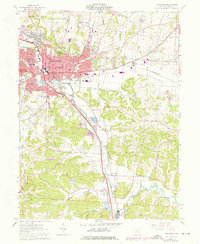
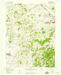
1961 Map of Lancaster
USGS Topo · Published 1976About this map
Lancaster serves as the regional hub for this Fairfield County landscape, where the Hocking River and Baldwin Run define the local drainage patterns. The 1974 photorevision reveals a city in transition, marking urban expansion through the suburban growth of Wacker Heights and Hunters. Educational and institutional history is deeply rooted here, from the Ohio University (Lancaster Br) campus to the sprawling State Industrial Sch in the south near Sugar Grove.
Find a feature on this map
76 named features on this map. Tap any name to fly to it.
Don’t see what you’re looking for? This feature index may not catch every label — zoom into the map to look around manually.
Map Details
Editions of this 1961 Lancaster Map
4 editions found
Other maps of this area

1907 · Logan
USGS Topo · 1:62,500

1907 · Lancaster
USGS Topo · 1:62,500

1907 · Thurston
USGS Topo · 1:62,500

1909 · Thornville
USGS Topo · 1:62,500

1909 · Lancaster
USGS Topo · 1:62,500

1909 · Logan
USGS Topo · 1:62,500

1909 · Thurston
USGS Topo · 1:62,500

1947 · Columbus
USGS Topo · 1:250,000

1958 · Carroll
USGS Topo · 1:24,000
1958 · Amanda
USGS Topo · 1:24,000