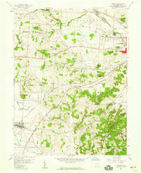
1958 Map of Amanda
USGS Topo · Published 1959About this map
Amanda and the western outskirts of Lancaster anchor this mid-century survey of Fairfield County. The landscape is defined by the sharp transition from the level bottomlands of Muddy Prairie to the high, broken hills of the Hocking and Madison townships. A legacy of early transport remains visible along the Hocking River, where a Canal (Abandoned) runs parallel to the Chesapeake and Ohio railroad.
Find a feature on this map
57 named features on this map. Tap any name to fly to it.
Don’t see what you’re looking for? This feature index may not catch every label — zoom into the map to look around manually.
Map Details
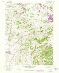
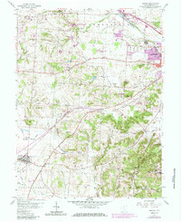
Editions of this 1958 Amanda Map
Other maps of this area

1907 · Lancaster
USGS Topo · 1:62,500

1907 · Thurston
USGS Topo · 1:62,500

1909 · Lancaster
USGS Topo · 1:62,500

1909 · Thurston
USGS Topo · 1:62,500

1914 · Circleville
USGS Topo · 1:62,500

1925 · East Columbus
USGS Topo · 1:62,500

1943 · Circleville
USGS Topo · 1:62,500

1943 · East Columbus
USGS Topo · 1:62,500

1947 · Columbus
USGS Topo · 1:250,000
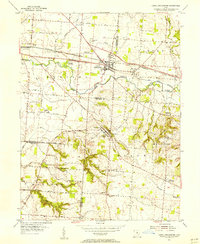
1955 · Canal Winchester
USGS Topo · 1:24,000