Loading...
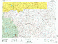
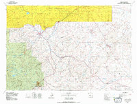
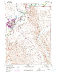
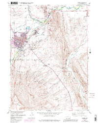
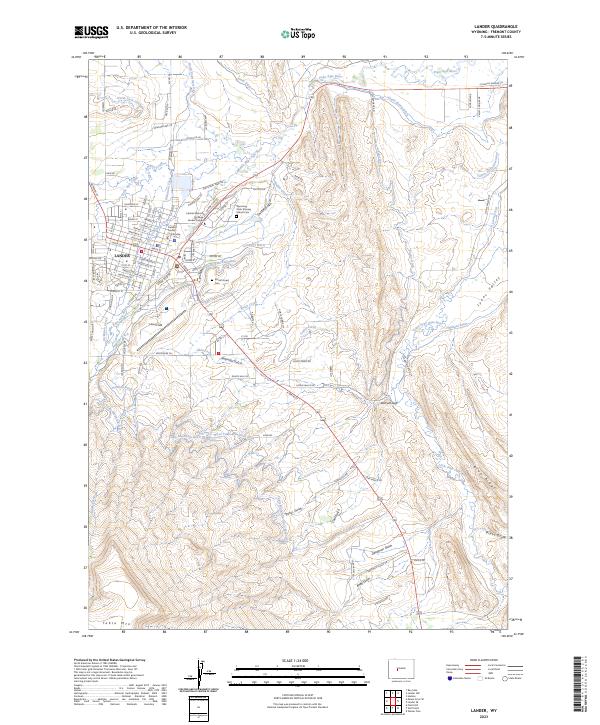
Loading map...1978 Map of Lander
USGS Topo · Published 1979About this map
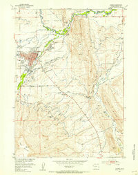
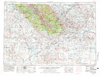
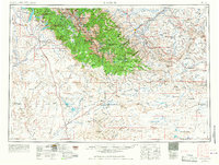
The Wind River Indian Reservation dominates the northern landscape of this region, where the Wind River and Popo Agie River systems carve through the foothills of the Wind River Range. By the late 1970s, the area around Lander and Hudson reflected a complex land-use pattern of traditional ranching, early industrial extraction, and federal conservation within the Shoshone National Forest. The map captures a high-desert environment defined by dramatic topographic shifts at Beaver Rim and the Continental Divide.
Find a feature on this map
85 named features on this map. Tap any name to fly to it.
Don’t see what you’re looking for? This feature index may not catch every label — zoom into the map to look around manually.
Map Details
Date Portrayed1978
Date Published1979
PublisherU.S. Geological Survey
Map TypeTopographic
Scale1:100,000
Physical Dimensions35.3 x 26.8 inches
Editions of this 1978 Lander Map
2 editions found
Historical Maps of Lander Through Time
8 maps found

Featured Locations
Source Details
SourceU.S. Geological Survey
CopyrightPublic Domain