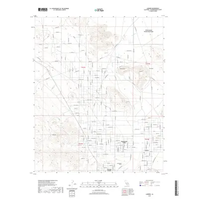
2018 Map of Landers
USGS Topo · Published 2018About this map
Landers and the residential clusters of Homestead Valley anchor this high desert landscape within the Mojave Desert. The map reveals a transition between established communities and the rugged outcroppings of Ruby Mtn and Spy Mtn, while a sprawling network of dirt roads and named trails like Snail Trl and Kickapoo Trl connect isolated parcels. The ephemeral drainage of Pipes Wash cuts through the valley floor, highlighting the importance of natural topography in directing the area's development. Notable landmarks such as Giant Rock and the proximity to the Twentynine Palms Main Base boundary indicate the region's mixed use for local living and military proximity. To the south, Flamingo Heights shows the continued pattern of desert settlement along the San Bernardino County corridor.
Find a feature on this map
146 named features on this map. Tap any name to fly to it.
Don’t see what you’re looking for? This feature index may not catch every label — zoom into the map to look around manually.
Map Details
Editions of this 2018 Landers Map
This is the sole edition of this map. No revisions or reprints were ever made.
Other maps of this area

1901 · Southern California Sheet No. 1
USGS Topo · 1:250,000

1902 · San Gorgonio
USGS Topo · 1:125,000

1904 · Southern California Sheet No. 1
USGS Topo · 1:250,000

1953 · San Bernardino
USGS Topo · 1:250,000

1954 · Hidalgo Mtn
USGS Topo · 1:24,000

1954 · Emerson Lake
USGS Topo · 1:24,000

1955 · Goat Mountain
USGS Topo · 1:24,000

1955 · Old Woman Springs
USGS Topo · 1:62,500

1955 · Emerson Lake
USGS Topo · 1:62,500

1955 · Morongo Valley
USGS Topo · 1:62,500